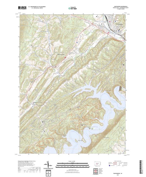
1994 Map of Huntingdon
USGS Topo · Published 1997About this map
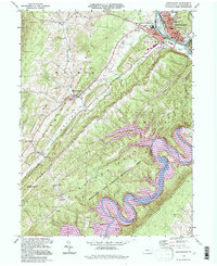
The Juniata River winds through a landscape of parallel ridges and deep valleys, where the borough of Huntingdon serves as a focal point for the region's education and civic life. The campus of Juniata College and the Court House anchor the town, while the surrounding townships of Walker, Smithfield, and Penn reveal a mix of agricultural valley bottoms and densely wooded heights. Significant public infrastructure and recreation define the mid-1990s character of the area, notably the expansive Raystown Lake National Recreation Area and the State Correctional Institution at Smithfield.
Find a feature on this map
55 named features on this map. Tap any name to fly to it.
Don’t see what you’re looking for? This feature index may not catch every label — zoom into the map to look around manually.
Map Details
Editions of this 1994 Huntingdon Map
This is the sole edition of this map. No revisions or reprints were ever made.
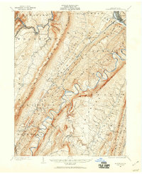
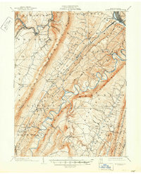
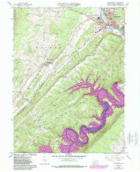
Historical Maps of Huntingdon Through Time
5 maps found