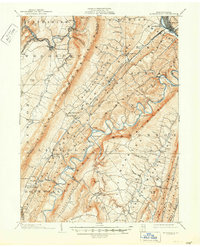
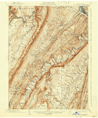
1904 Map of Huntingdon
USGS Topo · Published 1950About this map
Tussey Mountain and the steep ridges of central Pennsylvania dominate this 1901 survey, where the complex waterways of the Juniata River system carve through the landscape. The Huntingdon and Broad Top Mountain R.R. follows the narrow corridors between Warrior Ridge and the Raystown Branch Juniata River, connecting small industrial and agricultural outposts like Marklesburg and Entriken.
Find a feature on this map
89 named features on this map. Tap any name to fly to it.
Don’t see what you’re looking for? This feature index may not catch every label — zoom into the map to look around manually.
Map Details
Editions of this 1904 Huntingdon Map
6 editions found
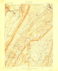
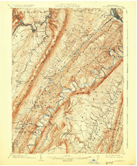
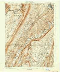
Other maps of this area

1900 · Everett
USGS Topo · 1:62,500

1901 · Huntingdon
USGS Topo · 1:62,500

1902 · Everett
USGS Topo · 1:62,500

1902 · Hollidaysburg
USGS Topo · 1:62,500

1903 · Hollidaysburg
USGS Topo · 1:62,500

1904 · Huntingdon
USGS Topo · 1:62,500

1919 · Menno
USGS Topo · 1:62,500

1920 · Altoona
USGS Topo · 1:62,500

1922 · Mt Union
USGS Topo · 1:48,000

1922 · Altoona
USGS Topo · 1:62,500