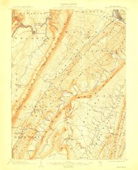
1904 Map of Huntingdon
USGS Topo · Published 1912About this map
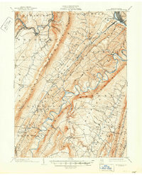
The Juniata River and its winding Raystown Branch define the central topography of this central Pennsylvania region at the turn of the twentieth century. The landscape is dominated by the long, parallel ridges of Tussey Mountain and Warrior Ridge, which dictate the placement of early infrastructure. Settlement patterns follow the river valleys and mountain gaps, seen in established communities like McConnellstown, Williamsburg, and Smithfield. A distinct industrial legacy is visible at Eagle Foundry and Cove Forge, while the rural economy is connected by numerous crossings such as Entriken Bridge, Fink Bridge, and Trexler Bridge. The PRR line runs along the northern corridor, skirting the Frankstown Branch and providing vital transport for the timber and mineral resources found throughout The Barrens and Snairs Hollow.
Find a feature on this map
87 named features on this map. Tap any name to fly to it.
Don’t see what you’re looking for? This feature index may not catch every label — zoom into the map to look around manually.
Map Details
Editions of this 1904 Huntingdon Map
6 editions found
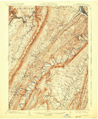
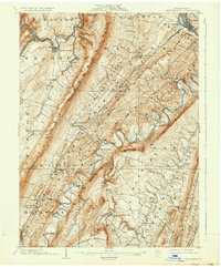
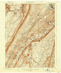
Other maps of this area

1900 · Everett
USGS Topo · 1:62,500

1901 · Huntingdon
USGS Topo · 1:62,500

1902 · Everett
USGS Topo · 1:62,500

1902 · Hollidaysburg
USGS Topo · 1:62,500

1903 · Hollidaysburg
USGS Topo · 1:62,500

1904 · Huntingdon
USGS Topo · 1:62,500

1919 · Menno
USGS Topo · 1:62,500

1920 · Altoona
USGS Topo · 1:62,500

1922 · Mt Union
USGS Topo · 1:48,000

1922 · Altoona
USGS Topo · 1:62,500