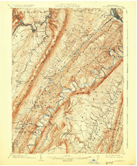
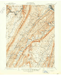
1904 Map of Huntingdon
USGS Topo · Published 1925About this map
Huntingdon and its neighboring ridge-and-valley settlements are defined by the convergence of major waterways and early industrial rail lines at the start of the twentieth century. The Pennsylvania R.R. follows the Frankstown Branch Juniata River through the northern gaps, connecting the iron heritage of Cove Forge and Franklin Forge to the regional hub. Further south, the Huntingdon and Broadtop Mountain R.R. skirts the winding Raystown Branch Juniata River, passing through nodes like Marklesburg and Entriken. The landscape is a series of tight gaps and river bends, where historic river crossings such as Fink Bridge and Trexler Bridge provided essential links between agricultural valleys and the rugged heights of Tussey Mountain and Broadtop Mountain.
Find a feature on this map
84 named features on this map. Tap any name to fly to it.
Don’t see what you’re looking for? This feature index may not catch every label — zoom into the map to look around manually.
Map Details
Editions of this 1904 Huntingdon Map
6 editions found
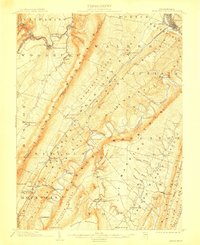
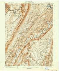
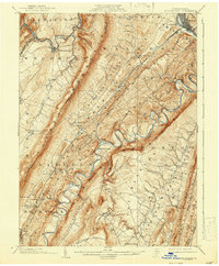
Other maps of this area

1900 · Everett
USGS Topo · 1:62,500

1901 · Huntingdon
USGS Topo · 1:62,500

1902 · Everett
USGS Topo · 1:62,500

1902 · Hollidaysburg
USGS Topo · 1:62,500

1903 · Hollidaysburg
USGS Topo · 1:62,500

1904 · Huntingdon
USGS Topo · 1:62,500

1919 · Menno
USGS Topo · 1:62,500

1920 · Altoona
USGS Topo · 1:62,500

1922 · Mt Union
USGS Topo · 1:48,000

1922 · Altoona
USGS Topo · 1:62,500