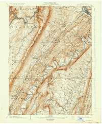
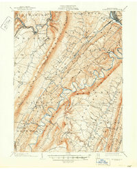
1904 Map of Huntingdon
USGS Topo · Published 1934About this map
Huntingdon stands as the hub of this Central Pennsylvania landscape at the turn of the century, where the Juniata River and the P. R. R. railroad defined the regional economy. The map reveals a complex industrial and agricultural network along the river valleys, with iron-era remnants like Cove Forge and Franklin Forge appearing near Williamsburg. The terrain is dominated by the steep, parallel ridges of the Appalachians, including Tussey Mountain and Terrace Mountain, which dictated the placement of small settlements and river crossings.
Find a feature on this map
88 named features on this map. Tap any name to fly to it.
Don’t see what you’re looking for? This feature index may not catch every label — zoom into the map to look around manually.
Map Details
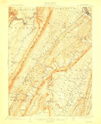
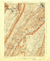
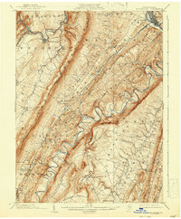
Editions of this 1904 Huntingdon Map
6 editions found
Other maps of this area

1900 · Everett
USGS Topo · 1:62,500

1901 · Huntingdon
USGS Topo · 1:62,500

1902 · Everett
USGS Topo · 1:62,500

1902 · Hollidaysburg
USGS Topo · 1:62,500

1903 · Hollidaysburg
USGS Topo · 1:62,500

1904 · Huntingdon
USGS Topo · 1:62,500

1919 · Menno
USGS Topo · 1:62,500

1920 · Altoona
USGS Topo · 1:62,500

1922 · Mt Union
USGS Topo · 1:48,000

1922 · Altoona
USGS Topo · 1:62,500