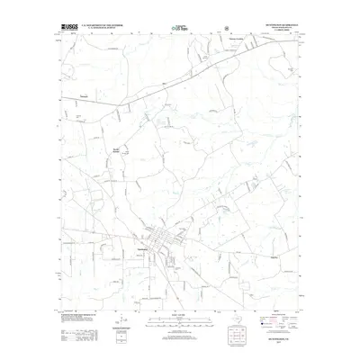
2013 Map of Huntington
USGS Topo · Published 2013About this map
Huntington sits at the heart of this East Texas survey, showing a structured grid of residential streets and localized industry in the early 21st century. The landscape is defined by the winding paths of Odell Cr and Mill Cr, which drain the timbered terrain surrounding the town. Local family history and genealogy are anchored by numerous small burial grounds, including Naren Cem, Jonesville Cem, and the Rocky Hill Cem located near the northern settlements.
Find a feature on this map
111 named features on this map. Tap any name to fly to it.
Don’t see what you’re looking for? This feature index may not catch every label — zoom into the map to look around manually.
Map Details
Editions of this 2013 Huntington Map
This is the sole edition of this map. No revisions or reprints were ever made.
Other maps of this area

1931 · Zavalla
USGS Topo · 1:62,500

1932 · Manning
USGS Topo · 1:62,500

1949 · Lufkin
USGS Topo · 1:62,500

1949 · Platt
USGS Topo · 1:24,000

1949 · Lufkin
USGS Topo · 1:24,000

1949 · Huntington
USGS Topo · 1:24,000

1950 · Platt
USGS Topo · 1:24,000

1950 · Lufkin
USGS Topo · 1:24,000

1950 · Redland
USGS Topo · 1:24,000

1950 · Huntington
USGS Topo · 1:24,000