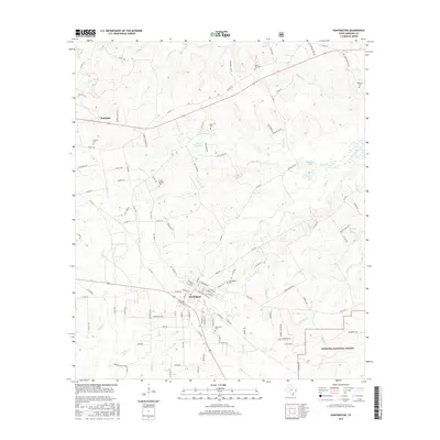
2016 Map of Huntington
USGS Topo · Published 2016About this map
Huntington and the smaller settlement of Dunagan anchor this East Texas landscape, where the town street grid transitions into a complex web of timber and logging roads. The map captures a moment of significant institutional density for genealogists, featuring several burial grounds including Huntington Cem, Jonesville Cem, and Traweek Cem. The southern reach of the quadrangle is defined by the protected borders of the Angelina National Forest, where a network of forest service roads winds through a terrain etched by numerous watercourses. Significant drainages such as Odell Cr, Mill Cr, and Brushy Cr feed into local water bodies like Hans Lake and Castleberry Lake, illustrating the hydrology that has historically supported the region's timber and agricultural industries.
Find a feature on this map
117 named features on this map. Tap any name to fly to it.
Don’t see what you’re looking for? This feature index may not catch every label — zoom into the map to look around manually.
Map Details
Editions of this 2016 Huntington Map
This is the sole edition of this map. No revisions or reprints were ever made.
Other maps of this area

1931 · Zavalla
USGS Topo · 1:62,500

1932 · Manning
USGS Topo · 1:62,500

1949 · Lufkin
USGS Topo · 1:62,500

1949 · Platt
USGS Topo · 1:24,000

1949 · Lufkin
USGS Topo · 1:24,000

1949 · Huntington
USGS Topo · 1:24,000

1950 · Platt
USGS Topo · 1:24,000

1950 · Lufkin
USGS Topo · 1:24,000

1950 · Redland
USGS Topo · 1:24,000

1950 · Huntington
USGS Topo · 1:24,000