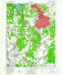
1954 Map of Huntington
USGS Topo · Published 1964About this map
The Nassau and Suffolk County border runs through this mid-century landscape, capturing a period of significant suburban expansion on Long Island. Established settlements like Huntington and Huntington Station are depicted alongside rising residential developments in South Huntington and Melville. The southern portion of the map is dominated by large-scale institutions and public spaces, most notably the Long Island National Cemetery and Bethpage State Park.
Find a feature on this map
84 named features on this map. Tap any name to fly to it.
Don’t see what you’re looking for? This feature index may not catch every label — zoom into the map to look around manually.
Map Details
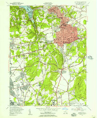
Editions of this 1954 Huntington Map
2 editions found
Other maps of this area

1897 · Hempstead
USGS Topo · 1:62,500

1897 · Oyster Bay
USGS Topo · 1:62,500

1898 · Hempstead
USGS Topo · 1:62,500

1898 · Oyster Bay
USGS Topo · 1:62,500

1899 · Hempstead
USGS Topo · 1:62,500

1900 · Oyster Bay
USGS Topo · 1:62,500

1901 · Babylon
USGS Topo · 1:62,500

1901 · Northport
USGS Topo · 1:62,500

1903 · Babylon
USGS Topo · 1:62,500

1903 · Northport
USGS Topo · 1:62,500