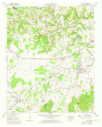
1947 Map of Huntland
USGS Topo · Published 1973About this map
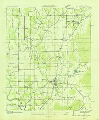
Huntland and Elora anchor this southern Tennessee landscape during a period of transition, where the Louisville and Nashville railroad tracks cut through the valley floor. The map highlights a rural economy tied to the land and water, featuring Falls Mill and Brown Mill along the northern creeks. In the higher elevations to the south, Stovall Mountain and Cedar Ridge rise above Greasy Cove, while the central portion is dominated by the broad flats of The Barrens.
Find a feature on this map
77 named features on this map. Tap any name to fly to it.
Don’t see what you’re looking for? This feature index may not catch every label — zoom into the map to look around manually.
Map Details
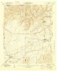
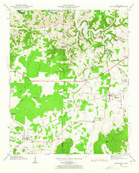
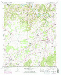
Editions of this 1947 Huntland Map
4 editions found
Other maps of this area

1888 · Scottsboro
USGS Topo · 1:125,000

1892 · Scottsboro
USGS Topo · 1:125,000

1928 · Decherd
USGS Topo · 1:62,500

1936 · King Cove
USGS Topo · 1:24,000

1936 · Flintville
USGS Topo · 1:24,000

1936 · Beans Creek
USGS Topo · 1:24,000

1936 · Huntland
USGS Topo · 1:24,000

1936 · Belvidere
USGS Topo · 1:24,000
1936 · New Market
USGS Topo · 1:24,000

1936 · Mulberry
USGS Topo · 1:24,000