Loading...
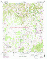
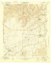
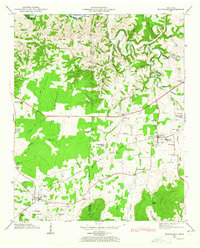
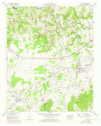
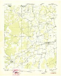
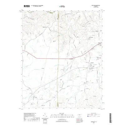
Loading map...1947 Map of Huntland
USGS Topo · Published 1973About this map
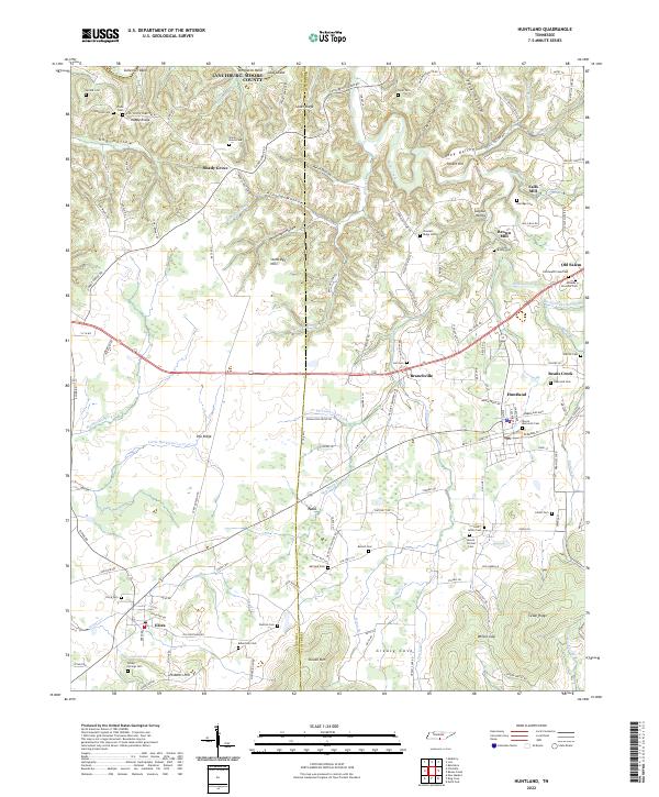
The Louisville and Nashville Railroad anchors the southern landscape of this Tennessee-Alabama border region, linking the towns of Huntland and Elora. The terrain transitions from the low-lying The Barrens and Pea Ridge to the steep slopes of Stovall Mountain and Peddlers Hill. Water power and agriculture define the local economy, visible through landmarks like the Brown Mill and Falls Mill along the northern creeks.
Find a feature on this map
84 named features on this map. Tap any name to fly to it.
Don’t see what you’re looking for? This feature index may not catch every label — zoom into the map to look around manually.
Map Details
Date Portrayed1947
Date Published1973
PublisherU.S. Geological Survey
Map TypeTopographic
Scale1:24,000
Physical Dimensions22 x 27.3 inches
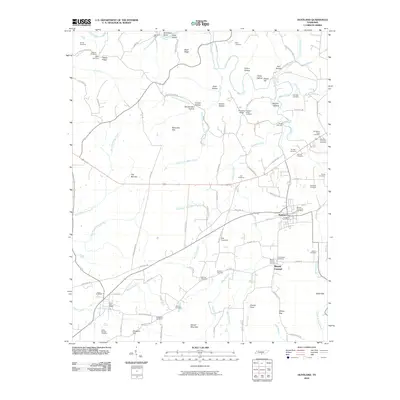
Editions of this 1947 Huntland Map
4 editions found
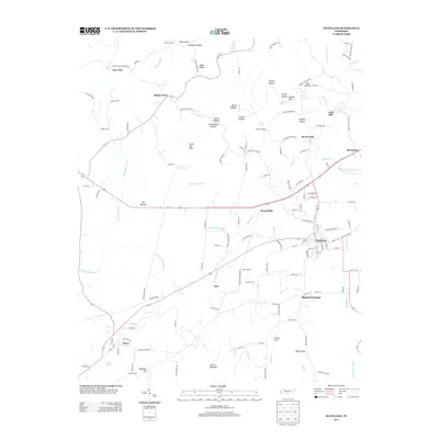
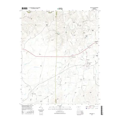
Historical Maps of Huntland Through Time
7 maps found
Featured Locations
Source Details
SourceU.S. Geological Survey
CopyrightPublic Domain