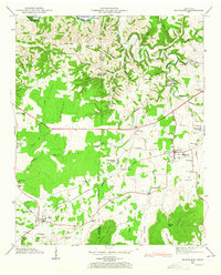
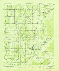
1947 Map of Huntland
USGS Topo · Published 1965About this map
The community of Huntland serves as a central hub in this post-war landscape, where the agriculture of The Barrens meets the rising elevations of Stovall Mountain and Cedar Ridge. This area of Franklin and Lincoln counties is defined by its rural infrastructure, featuring a dense network of early schools and churches such as Holman Chapel Sch, Donaldson Grove Church, and Simmons Chapel. The N C & St L railroad line cuts through the southern portion of the map, supporting the small settlement of Elora and facilitating the regional movement of goods.
Find a feature on this map
67 named features on this map. Tap any name to fly to it.
Don’t see what you’re looking for? This feature index may not catch every label — zoom into the map to look around manually.
Map Details
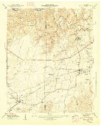
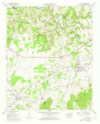
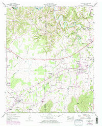
Editions of this 1947 Huntland Map
4 editions found
Other maps of this area

1888 · Scottsboro
USGS Topo · 1:125,000

1892 · Scottsboro
USGS Topo · 1:125,000

1928 · Decherd
USGS Topo · 1:62,500

1936 · King Cove
USGS Topo · 1:24,000

1936 · Flintville
USGS Topo · 1:24,000

1936 · Beans Creek
USGS Topo · 1:24,000

1936 · Huntland
USGS Topo · 1:24,000

1936 · Belvidere
USGS Topo · 1:24,000
1936 · New Market
USGS Topo · 1:24,000

1936 · Mulberry
USGS Topo · 1:24,000