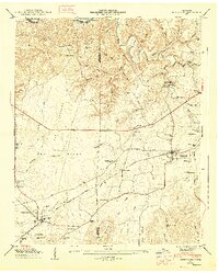
1947 Map of Huntland
USGS Topo · Published 1948About this map
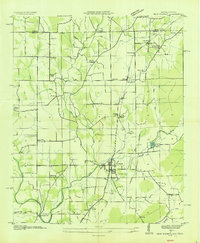
The Elk River winds through the northern reaches of this landscape, defining a series of sharp river bends like Sullenger Bend and Templeton Bend along the county line. The agricultural and industrial character of the era is evident in the water-powered sites of Falls Mill and Brown Mill, both located along the creeks feeding the river system from the east. In the southern half, the Nashville Chattanooga and St Louis Road anchors the settlements of Huntland and Elora, serving as a vital corridor for the region's mid-century commerce.
Find a feature on this map
77 named features on this map. Tap any name to fly to it.
Don’t see what you’re looking for? This feature index may not catch every label — zoom into the map to look around manually.
Map Details
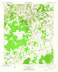
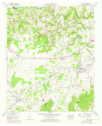
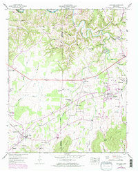
Editions of this 1947 Huntland Map
4 editions found
Other maps of this area

1888 · Scottsboro
USGS Topo · 1:125,000

1892 · Scottsboro
USGS Topo · 1:125,000

1928 · Decherd
USGS Topo · 1:62,500

1936 · King Cove
USGS Topo · 1:24,000

1936 · Flintville
USGS Topo · 1:24,000

1936 · Beans Creek
USGS Topo · 1:24,000

1936 · Huntland
USGS Topo · 1:24,000

1936 · Belvidere
USGS Topo · 1:24,000
1936 · New Market
USGS Topo · 1:24,000

1936 · Mulberry
USGS Topo · 1:24,000