Loading...
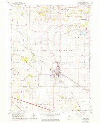
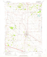
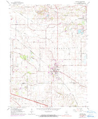
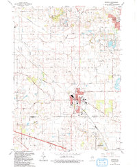
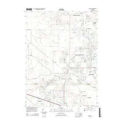
Loading map...1972 Map of Huntley
USGS Topo · Published 1973About this map
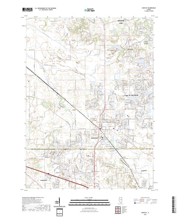
Huntley serves as the central hub of this northern Illinois landscape, positioned at the junction of several regional thoroughfares including Huntley Dundee Road and Marengo Road. The town's industrial and agricultural character is evident in its proximity to numerous gravel pits and the Chicago and North Western rail line. To the south, the Northwest Tollway cuts through the township of Rutland, marking the early 1970s expansion of the suburban corridor toward Hampshire.
Find a feature on this map
46 named features on this map. Tap any name to fly to it.
Don’t see what you’re looking for? This feature index may not catch every label — zoom into the map to look around manually.
Map Details
Date Portrayed1972
Date Published1973
PublisherU.S. Geological Survey
Map TypeTopographic
Scale1:24,000
Physical Dimensions22 x 26.7 inches
Editions of this 1972 Huntley Map
This is the sole edition of this map. No revisions or reprints were ever made.
Historical Maps of Crystal Lake Through Time
9 maps found
Featured Locations
Source Details
SourceU.S. Geological Survey
CopyrightPublic Domain