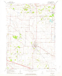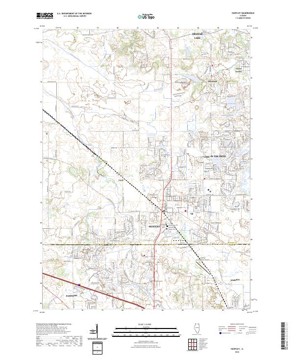
1992 Map of Huntley
USGS Topo · Published 1992About this map
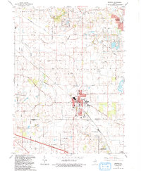
Huntley and the surrounding townships of Grafton, Coral, and Rutland dominate this early 1990s landscape, illustrating the suburban evolution of the McHenry County and Kane County border. The map documents a transition from the agricultural roots of the Kishwaukee River valley to modern residential developments and infrastructure. The Chicago and North Western railroad bisects the town, while the Northwest Tollway cuts across the southern edge, signaling the region's increasing connectivity. Notable local landmarks include the High Sch, the Mt Thabor Cem, and the specialized Landings Condominium Landing Field. Conservation efforts are visible at the Freemans Kame Co Forest Preserve, preserving a unique glacial feature amid the expansion of Crystal Lake and Lakewood.
Find a feature on this map
59 named features on this map. Tap any name to fly to it.
Don’t see what you’re looking for? This feature index may not catch every label — zoom into the map to look around manually.
Map Details
Editions of this 1992 Huntley Map
This is the sole edition of this map. No revisions or reprints were ever made.
Historical Maps of Crystal Lake Through Time
9 maps found