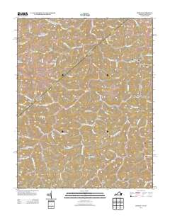
2013 Map of Hurley
USGS Topo · Published 2013About this map
Knox Cr winds through this central Appalachian landscape, serving as the primary drainage for a network of hollows and ridges that define the borderlands of Virginia and Kentucky. The area is characterized by small valley-floor settlements like Hurley, Argo, and Kelsa, which are linked by winding routes such as Ira Hurley Rd and Mill Branch Rd. The presence of Bill Siding and Burke Siding indicates the enduring importance of rail transport for moving timber or coal through these tight valleys.
Find a feature on this map
80 named features on this map. Tap any name to fly to it.
Don’t see what you’re looking for? This feature index may not catch every label — zoom into the map to look around manually.
Map Details
Editions of this 2013 Hurley Map
This is the sole edition of this map. No revisions or reprints were ever made.
Other maps of this area

1886 · Grundy
USGS Topo · 1:125,000

1887 · Warfield
USGS Topo · 1:125,000

1890 · Grundy
USGS Topo · 1:125,000

1891 · Tazewell
USGS Topo · 1:125,000

1891 · Oceana
USGS Topo · 1:125,000

1891 · Warfield
USGS Topo · 1:125,000

1892 · Grundy
USGS Topo · 1:125,000

1893 · Oceana
USGS Topo · 1:125,000

1895 · Tazewell
USGS Topo · 1:125,000

1897 · Tazewell
USGS Topo · 1:125,000