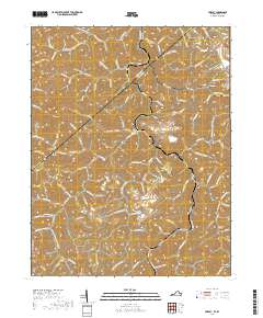
2019 Map of Hurley
USGS Topo · Published 2019About this map
Hurley sits at the confluence of Pounding Mill Cr and Lester Fork, serving as a central point in this deeply incised Appalachian landscape along the Kentucky and Virginia border. The map reveals a settlement pattern dictated by narrow hollows, where homes and roads like Pounding Mill Rd and State Rte 650 follow the winding paths of Mile Br and Halfmile Br. This modern survey provides a detailed look at the local genealogy of the region, specifically through its numerous family-named burial grounds. From the Dotson and Rife cemeteries in the northeast near Upper Elk Cr to the Belcher and Blankenship sites in the south, these landmarks provide a clear spatial record of the families who have inhabited these ridges and forks for generations.
Find a feature on this map
121 named features on this map. Tap any name to fly to it.
Don’t see what you’re looking for? This feature index may not catch every label — zoom into the map to look around manually.
Map Details
Editions of this 2019 Hurley Map
This is the sole edition of this map. No revisions or reprints were ever made.
Other maps of this area

1886 · Grundy
USGS Topo · 1:125,000

1887 · Warfield
USGS Topo · 1:125,000

1890 · Grundy
USGS Topo · 1:125,000

1891 · Tazewell
USGS Topo · 1:125,000

1891 · Oceana
USGS Topo · 1:125,000

1891 · Warfield
USGS Topo · 1:125,000

1892 · Grundy
USGS Topo · 1:125,000

1893 · Oceana
USGS Topo · 1:125,000

1895 · Tazewell
USGS Topo · 1:125,000

1897 · Tazewell
USGS Topo · 1:125,000