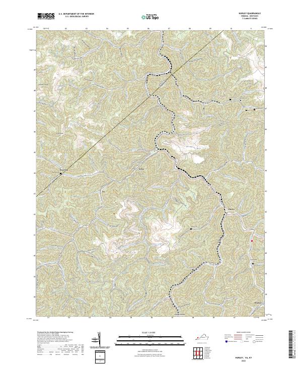
2022 Map of Hurley
USGS Topo · Published 2022About this map
Hurley and its surrounding hollows define this portrait of Buchanan County's steep topography near the Kentucky-Virginia line. The settlement pattern follows the narrow valley floors, with homes and infrastructure tightly clustered along the banks of Hurricane Creek and Pounding Mill Cr. For genealogists, the map is a dense record of family heritage, preserving the locations of numerous small burial grounds including Coleman Cem, Lester Cem, Belcher Cem, and Dotson Cem. These sites, often situated on the lower slopes of massive ridges like Sulphur Knob and High Knob, mark the deep roots of families in the Appalachian coalfields. Local industry and transit are represented by markers such as K B C Mine Rd and the winding course of State Rte 676, illustrating the enduring relationship between the area's difficult terrain and its extraction and transport networks.
Find a feature on this map
121 named features on this map. Tap any name to fly to it.
Don’t see what you’re looking for? This feature index may not catch every label — zoom into the map to look around manually.
Map Details
Editions of this 2022 Hurley Map
This is the sole edition of this map. No revisions or reprints were ever made.
Other maps of this area

1886 · Grundy
USGS Topo · 1:125,000

1887 · Warfield
USGS Topo · 1:125,000

1890 · Grundy
USGS Topo · 1:125,000

1891 · Tazewell
USGS Topo · 1:125,000

1891 · Oceana
USGS Topo · 1:125,000

1891 · Warfield
USGS Topo · 1:125,000

1892 · Grundy
USGS Topo · 1:125,000

1893 · Oceana
USGS Topo · 1:125,000

1895 · Tazewell
USGS Topo · 1:125,000

1897 · Tazewell
USGS Topo · 1:125,000