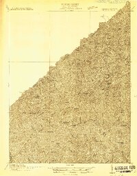
1914 Map of Hurley
USGS Topo · Published 1914About this map
Grundy and the surrounding hollows of Buchanan County appear here during a period of rural expansion along the Levisa river. The landscape is defined by a dense network of mountain schools and small post offices that served isolated communities before the modernization of mountain roads. Local life centered on landmarks like Paw Paw Chapel and the Pounding Mill, reflecting a landscape where geographic distance was measured by the winding paths of Home Creek and Lester Creek.
Find a feature on this map
86 named features on this map. Tap any name to fly to it.
Don’t see what you’re looking for? This feature index may not catch every label — zoom into the map to look around manually.
Map Details
Editions of this 1914 Hurley Map
This is the sole edition of this map. No revisions or reprints were ever made.
Other maps of this area

1886 · Grundy
USGS Topo · 1:125,000

1887 · Warfield
USGS Topo · 1:125,000

1890 · Grundy
USGS Topo · 1:125,000

1891 · Tazewell
USGS Topo · 1:125,000

1891 · Oceana
USGS Topo · 1:125,000

1891 · Warfield
USGS Topo · 1:125,000

1892 · Grundy
USGS Topo · 1:125,000

1893 · Oceana
USGS Topo · 1:125,000

1895 · Tazewell
USGS Topo · 1:125,000

1897 · Tazewell
USGS Topo · 1:125,000