1915 Map of Hurley
USGS Topo · Published 1964About this map
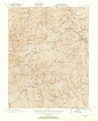
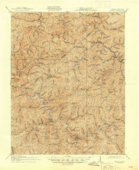
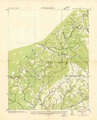
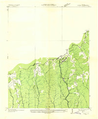
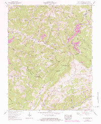
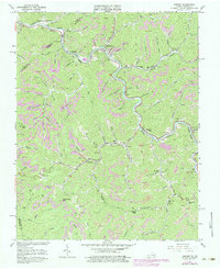
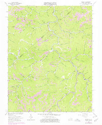
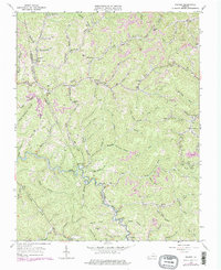
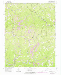
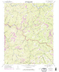
Grundy and the surrounding coal-country hollows are documented here during a period of industrial transition, where early mountain life intersected with the expanding reach of the N and W RR. The landscape is dominated by a dense network of branches and forks, such as Peter Creek and Beech Creek, which defined the placement of isolated settlements and specialized mountain schools. Small post offices like Kelsa PO and Argo PO Middle Elk Sta served as vital hubs for the dispersed populations living along the steep terrain of Hylton Knob and Rowe Mountain.
Find a feature on this map
153 named features on this map. Tap any name to fly to it.
Don’t see what you’re looking for? This feature index may not catch every label — zoom into the map to look around manually.
Map Details
Editions of this 1915 Hurley Map
2 editions found
Historical Maps of Grundy Through Time
22 maps found

1914 Bucu
Buchanan County, VA

1914 Hurley
Buchanan County, VA
1915 Hurley
Buchanan County, VA

1916 Bucu
Buchanan County, VA
1917 Hurley
Buchanan County, VA
1935 Big A Mountain
Buchanan County, VA
1935 Jewell
Buchanan County, VA
1935 Pistol Gap
Buchanan County, VA
1954 Harman
Buchanan County, VA
1954 Hurley
Buchanan County, VA
1958 Big A Mountain
Buchanan County, VA
1963 Harman
Buchanan County, VA
1963 Hurley
Buchanan County, VA
1963 Prater
Buchanan County, VA
1964 Patterson
Buchanan County, VA
1968 Keen Mountain
Buchanan County, VA
2022 Big A Mountain
Buchanan County, VA
2022 Harman
Buchanan County, VA
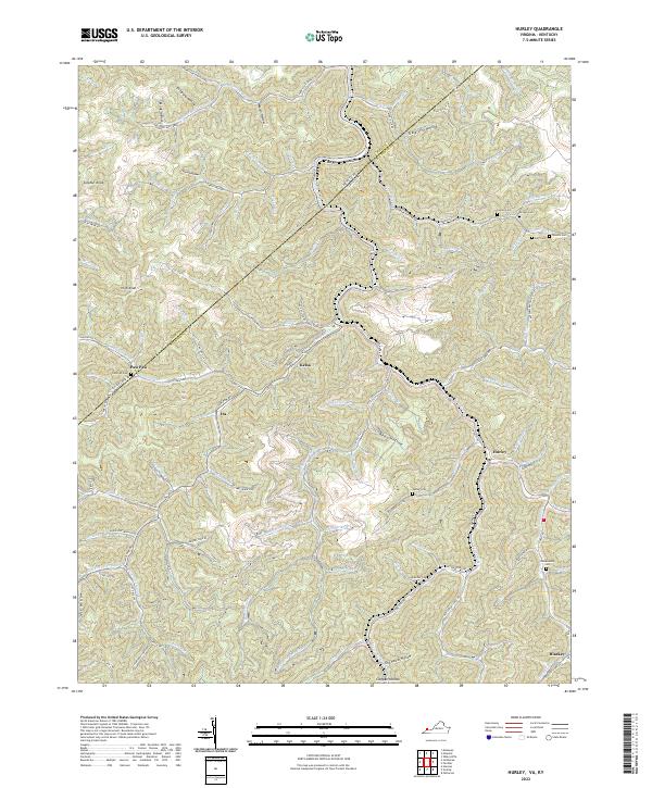
2022 Hurley
Buchanan County, VA
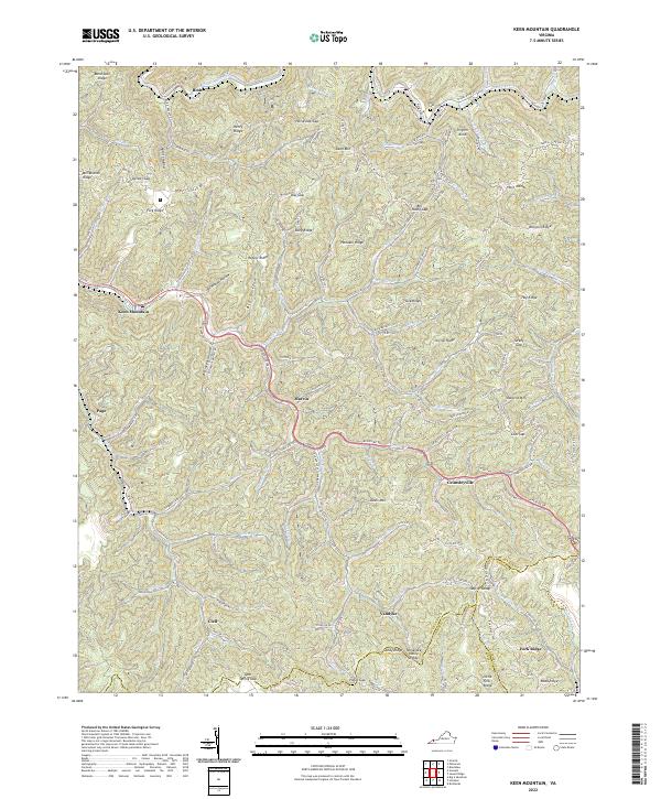
2022 Keen Mountain
Buchanan County, VA
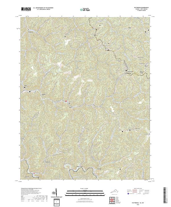
2022 Patterson
Buchanan County, VA
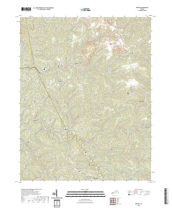
2022 Prater
Buchanan County, VA