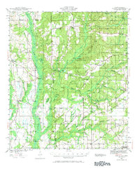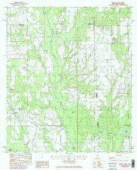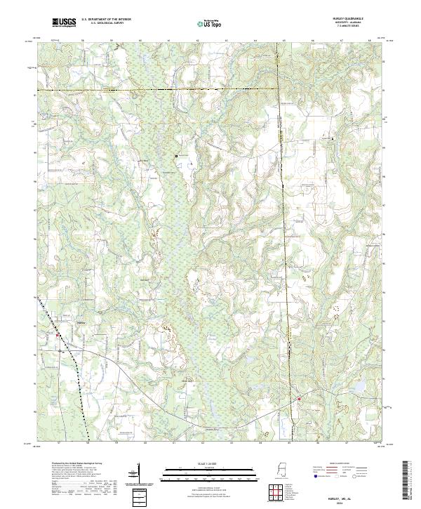
2024 Map of Hurley
USGS Topo · Published 2024About this map
The Escatawpa River defines the central spine of this landscape, its winding course flanked by series of named high points including Yellow Bluff, Red Bluff, and White Bluff. This 2024 survey documents the rural interface where Jackson County, Mississippi, meets Mobile County, Alabama, along the long stretch of State Line Rd. The settlement of Hurley sits in the southwestern portion of the map, surrounded by a network of family-named roads like Coleman Homestead Rd and John Holder Rd, indicating deep-rooted land ownership patterns. River crossings remain central to the geography here, with Tanners Ferry and Dickens Ferry recorded alongside older burial sites such as Tanners Cem and Joyner Cem. The terrain transitions from the wetland environments of Black Creek Swamp and Devils Den Bay to the cleared landing strip at Skywest Airpark on the Alabama side.
Find a feature on this map
85 named features on this map. Tap any name to fly to it.
Don’t see what you’re looking for? This feature index may not catch every label — zoom into the map to look around manually.
Map Details
Editions of this 2024 Hurley Map
This is the sole edition of this map. No revisions or reprints were ever made.
Historical Maps of Alabama Through Time
4 maps found