Loading...
Loading map...1941 Map of Hurley
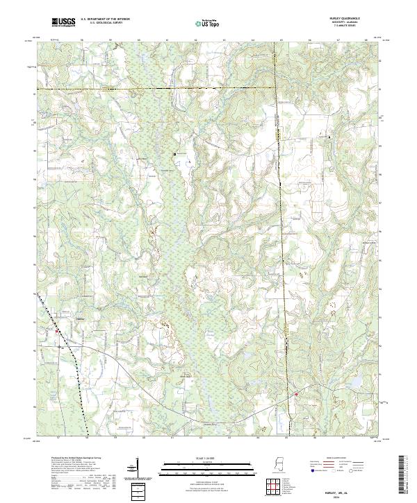
USGS Topo · Published 1972About this map
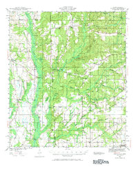
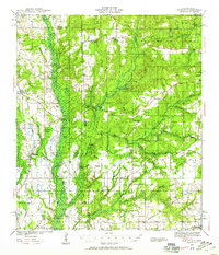
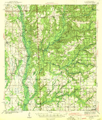
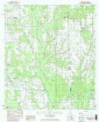
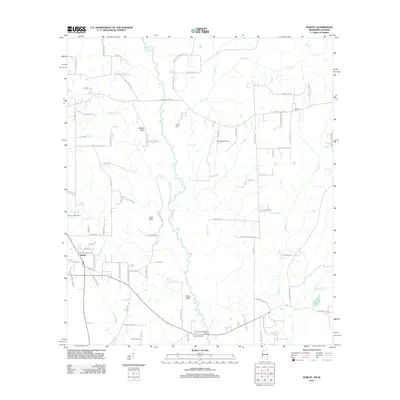
The Escatawpa River creates a meandering border between George and Jackson counties in this early 1940s survey of the Mississippi-Alabama state line. The landscape is defined by the heavy drainage of the river bottomlands, where Redoak Swamp and Red Brake Swamp sit alongside distinctive bluff features like Yellow Bluff and White Bluff. The settlement pattern follows the higher ground, anchored by small communities such as Hurley and Seven Hills.
Find a feature on this map
64 named features on this map. Tap any name to fly to it.
Don’t see what you’re looking for? This feature index may not catch every label — zoom into the map to look around manually.
Map Details
Date Portrayed1941
Date Published1972
PublisherU.S. Geological Survey
Map TypeTopographic
Scale1:62,500
Physical Dimensions17.9 x 21.9 inches
Editions of this 1941 Hurley Map
3 editions found

Historical Maps of Mobile Through Time
8 maps found
Featured Locations
Source Details
SourceU.S. Geological Survey
CopyrightPublic Domain