Loading...
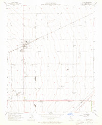
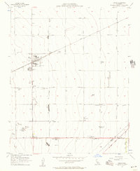
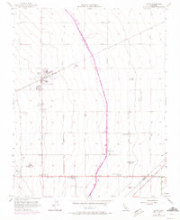
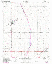
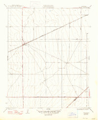
Loading map...1956 Map of Huron
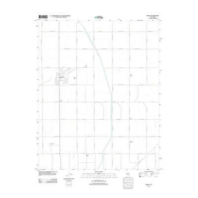
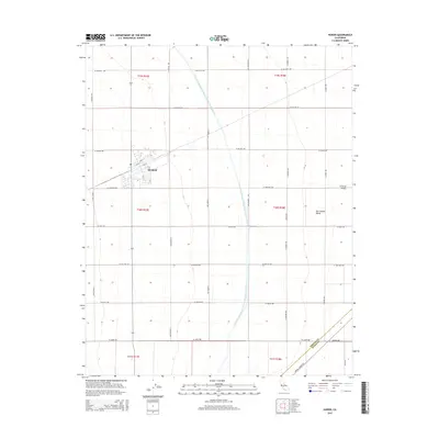
USGS Topo · Published 1964About this map
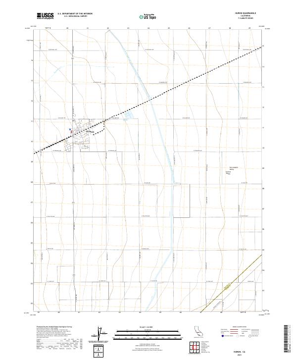
Agricultural development and industrial processing define the landscape of Huron during the mid-1950s. The town serves as a vital hub along the Southern Pacific railroad, evidenced by a dense concentration of infrastructure including a Fire Control Station, Huron Substation, and a large Cotton Gin. The surrounding San Joaquin Valley terrain is meticulously organized into a grid of avenues named for western states and trees, such as Lassen Avenue and Goldenrod Avenue.
Find a feature on this map
56 named features on this map. Tap any name to fly to it.
Don’t see what you’re looking for? This feature index may not catch every label — zoom into the map to look around manually.
Map Details
Date Portrayed1956
Date Published1964
PublisherU.S. Geological Survey
Map TypeTopographic
Scale1:24,000
Physical Dimensions22 x 26.9 inches
Editions of this 1956 Huron Map
4 editions found
Historical Maps of Huron Through Time
7 maps found

Featured Locations
Source Details
SourceU.S. Geological Survey
CopyrightPublic Domain