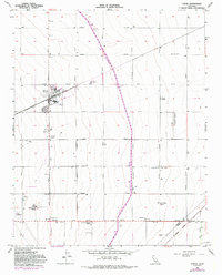
1956 Map of Huron
USGS Topo · Published 1992About this map
Huron serves as the central hub of this agricultural landscape in the San Joaquin Valley, where a precise grid of roads like Trinity Avenue and Lassen Avenue organizes the fertile plains. The map illustrates a mid-century irrigation and industrial network, dominated by the massive California Aqueduduct cutting diagonally across the terrain.
Find a feature on this map
40 named features on this map. Tap any name to fly to it.
Don’t see what you’re looking for? This feature index may not catch every label — zoom into the map to look around manually.
Map Details
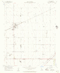
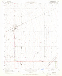
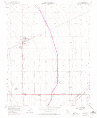
Editions of this 1956 Huron Map
4 editions found
Other maps of this area

1912 · Coalinga
USGS Topo · 1:125,000

1926 · Lethent
USGS Topo · 1:31,680

1928 · Delta Farms No 3
USGS Topo · 1:31,680

1929 · Westhaven
USGS Topo · 1:31,680

1930 · Discovery Well
USGS Topo · 1:31,680

1930 · Canoas Creek
USGS Topo · 1:31,680

1932 · Delta Farms
USGS Topo · 1:31,680

1932 · West of Lethent
USGS Topo · 1:31,680

1933 · Kettleman City
USGS Topo · 1:31,680

1933 · Huron
USGS Topo · 1:31,680