Loading...
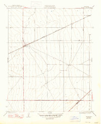
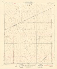
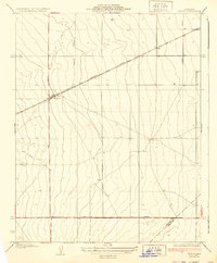
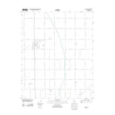
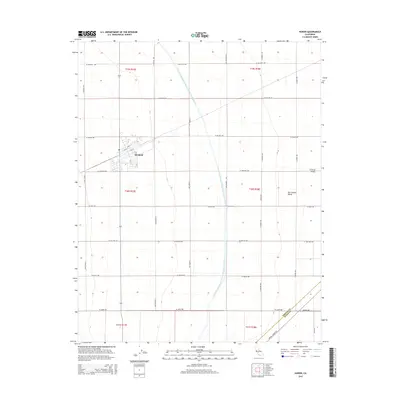
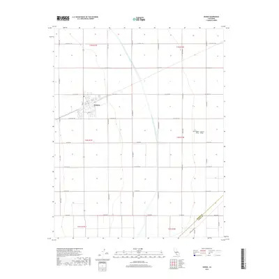
Loading map...1937 Map of Huron
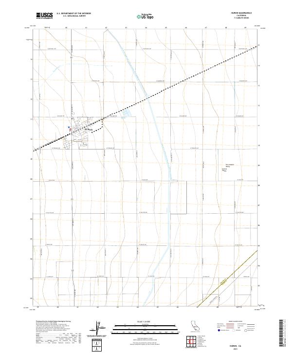
USGS Topo · Published 1947About this map
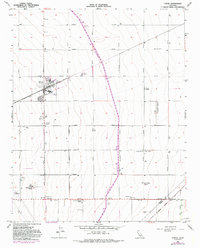
Huron serves as the central hub of this agricultural landscape in the San Joaquin Valley, positioned at a critical junction of rail and road. The Southern Pacific railroad line cuts diagonally through the terrain, anchoring the settlement's early commerce and connectivity. This 1933 survey, updated in the late 1940s, reveals a strictly organized grid of rural transport routes, including Lassen Avenue and Jayne Avenue, which define the section lines and movement patterns of the era.
Find a feature on this map
8 named features on this map. Tap any name to fly to it.
Don’t see what you’re looking for? This feature index may not catch every label — zoom into the map to look around manually.
Map Details
Date Portrayed1937
Date Published1947
PublisherU.S. Geological Survey
Map TypeTopographic
Scale1:31,680
Physical Dimensions17 x 20.8 inches
Editions of this 1937 Huron Map
3 editions found
Historical Maps of Huron Through Time
7 maps found

Featured Locations
Source Details
SourceU.S. Geological Survey
CopyrightPublic Domain