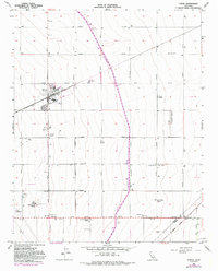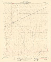
1937 Map of Huron
USGS Topo · Published 1937About this map
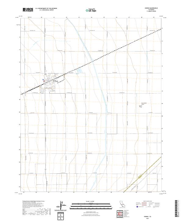
Huron serves as the central hub of this agricultural landscape in the San Joaquin Valley, appearing here as a focused settlement at the intersection of the Southern Pacific railroad and Lassen Avenue. The layout of the region is defined by a rigid grid of transit corridors, including Siskiyou Avenue, Bishop Avenue, and Jayne Avenue, which facilitate the movement of goods and people across the vast open terrain. This 1930s survey captures the area before the expansion of the modern freeway system, showing the early dependence on rail for local industry and the precise surveying of the Fresno Co and Kings Co boundary line. The contour lines reveal a remarkably flat floor of the valley, sloping almost imperceptibly toward the northeast, an essential characteristic for the irrigation and farming development of the era.
Find a feature on this map
7 named features on this map. Tap any name to fly to it.
Don’t see what you’re looking for? This feature index may not catch every label — zoom into the map to look around manually.
Map Details
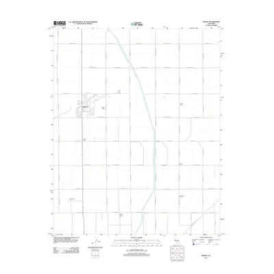
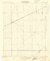
Editions of this 1937 Huron Map
3 editions found
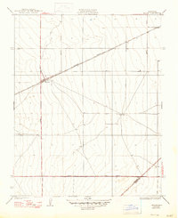
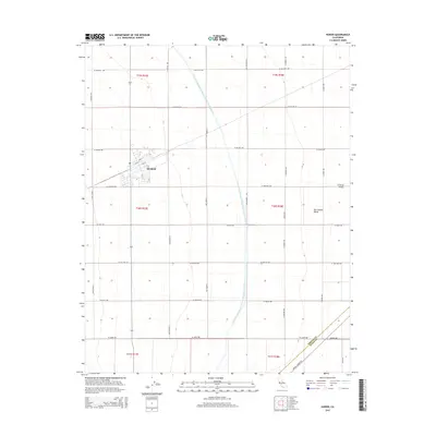
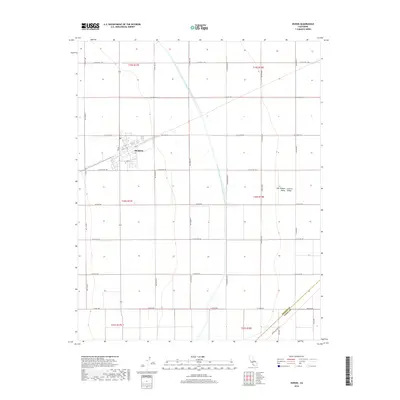
Historical Maps of Huron Through Time
7 maps found