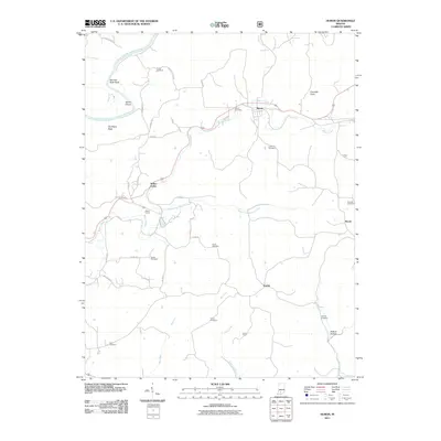
2011 Map of Huron
USGS Topo · Published 2011About this map
Huron serves as a primary settlement point in this southern Indiana landscape, where the Beaver Creek valley meets the winding path of the East Fork White River. The map reveals a high density of small family and community burial grounds, such as Acre Cemetery, Clarke Cemetery, and Little York Cemetery, providing a wealth of information for genealogical research in Lawrence County. Distinctive landforms characterize the area, including the sharp turn of Norman Rock Bend and the descriptive Old Mans Nose, while subsurface features are represented by Connelly Cave. The infrastructure of the period is marked by the presence of Willow Tunnel near the Willow Valley settlement, and the convergence of several rural routes like Clarks Ferry Ln and Red School Rd that connect the scattered locales of Scarlet and Bonds across the creek-fed terrain.
Find a feature on this map
45 named features on this map. Tap any name to fly to it.
Don’t see what you’re looking for? This feature index may not catch every label — zoom into the map to look around manually.
Map Details
Editions of this 2011 Huron Map
This is the sole edition of this map. No revisions or reprints were ever made.
Other maps of this area

1935 · Oolitic
USGS Topo · 1:48,000

1942 · Oolitic
USGS Topo · 1:62,500

1948 · Huron
USGS Topo · 1:24,000

1949 · Georgia
USGS Topo · 1:24,000

1950 · Huron
USGS Topo · 1:24,000

1950 · Shoals
USGS Topo · 1:24,000

1951 · Hillham
USGS Topo · 1:24,000

1951 · French Lick
USGS Topo · 1:24,000

1951 · Georgia
USGS Topo · 1:24,000

1956 · Rusk
USGS Topo · 1:24,000