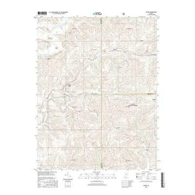
2016 Map of Huron
USGS Topo · Published 2016About this map
Huron serves as a central hub on this Indiana landscape, situated where the terrain begins to ripple through the Hoosier National Forest. The map documents a rural network of county roads and family-named landmarks that reflect a long history of settlement across the Martin, Lawrence, and Orange County lines. Notable geographic markers like Norman Rock Bend and Devils Elbow along the East Fork White River contrast with the more secluded interior features such as Deep Cut Lake and the Willow Tunnel. A high density of rural burial grounds, including Clarke Cem, Little York Cem, and Union Cem, provides a detailed record for genealogical study. The presence of Willow Valley and the small settlement of Scarlet further illustrate the distribution of historic local communities within this heavily forested region of the state.
Find a feature on this map
63 named features on this map. Tap any name to fly to it.
Don’t see what you’re looking for? This feature index may not catch every label — zoom into the map to look around manually.
Map Details
Editions of this 2016 Huron Map
This is the sole edition of this map. No revisions or reprints were ever made.
Other maps of this area

1935 · Oolitic
USGS Topo · 1:48,000

1942 · Oolitic
USGS Topo · 1:62,500

1948 · Huron
USGS Topo · 1:24,000

1949 · Georgia
USGS Topo · 1:24,000

1950 · Huron
USGS Topo · 1:24,000

1950 · Shoals
USGS Topo · 1:24,000

1951 · Hillham
USGS Topo · 1:24,000

1951 · French Lick
USGS Topo · 1:24,000

1951 · Georgia
USGS Topo · 1:24,000

1956 · Rusk
USGS Topo · 1:24,000