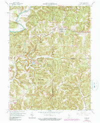
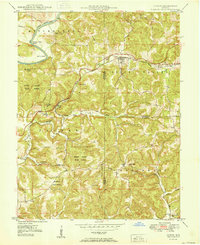
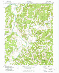
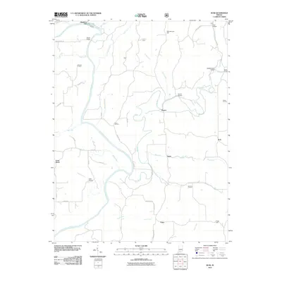
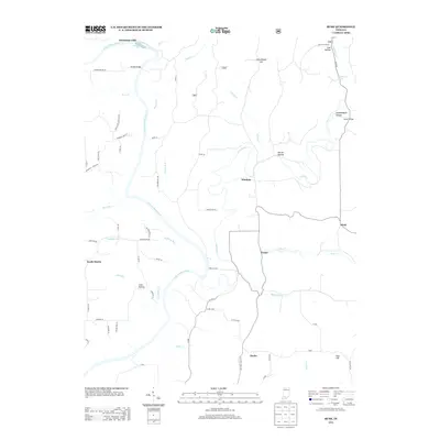
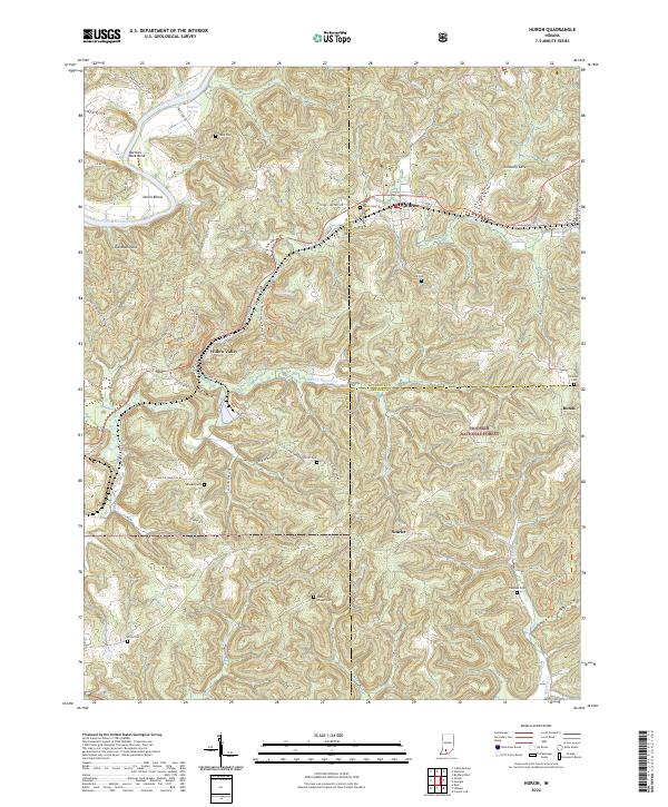
1965 Map of Huron
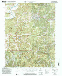
USGS Topo · Published 1990About this map
The East Fork White River winds through the northern reaches of this Indiana landscape, carving distinctive landmarks like Norman Rock Bend and the Devils Elbow. Centered around the settlement of Huron, the area shows a deeply integrated relationship between the local topography and early infrastructure, including the curiously named Willow Tunnel and Old Mans Nose. Extensive woodland coverage is preserved within the Martin State Forest and Hoosier National Forest, reflecting a region dominated by timber and hilly terrain rather than large-scale industrialization.
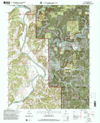
Find a feature on this map
37 named features on this map. Tap any name to fly to it.
Don’t see what you’re looking for? This feature index may not catch every label — zoom into the map to look around manually.
Map Details
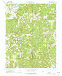
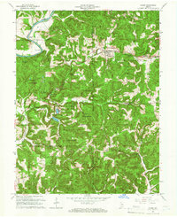
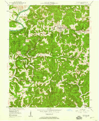
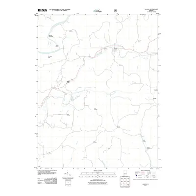
Editions of this 1965 Huron Map
Historical Maps of Bonds Through Time
24 maps found
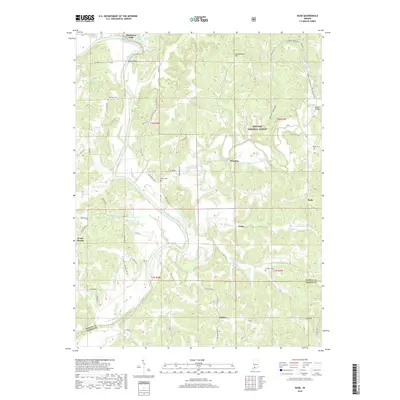
1948 Huron
Martin County, IN
1950 Huron
Martin County, IN
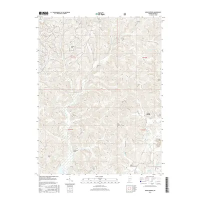
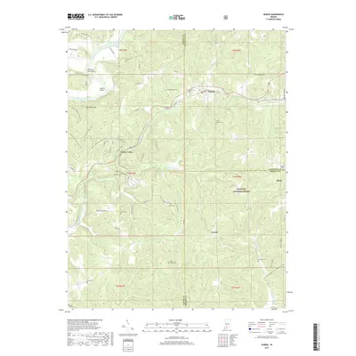
1956 Indian Springs
Martin County, IN
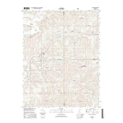
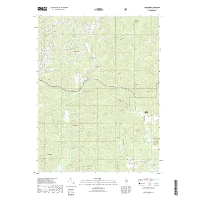
1956 Rusk
Martin County, IN
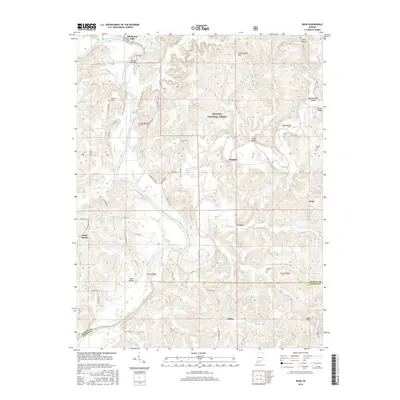
1965 Huron
Martin County, IN
1978 Indian Springs
Martin County, IN
1978 Rusk
Martin County, IN
1993 Huron
Martin County, IN
1993 Rusk
Martin County, IN
2010 Indian Springs
Martin County, IN
2010 Rusk
Martin County, IN
2011 Huron
Martin County, IN
2013 Huron
Martin County, IN
2013 Indian Springs
Martin County, IN
2013 Rusk
Martin County, IN
2016 Huron
Martin County, IN
2016 Indian Springs
Martin County, IN
2016 Rusk
Martin County, IN
2019 Huron
Martin County, IN
2019 Indian Springs
Martin County, IN
2019 Rusk
Martin County, IN
2022 Huron
Martin County, IN
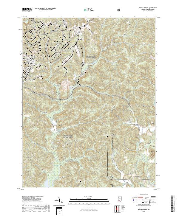
2022 Indian Springs
Martin County, IN
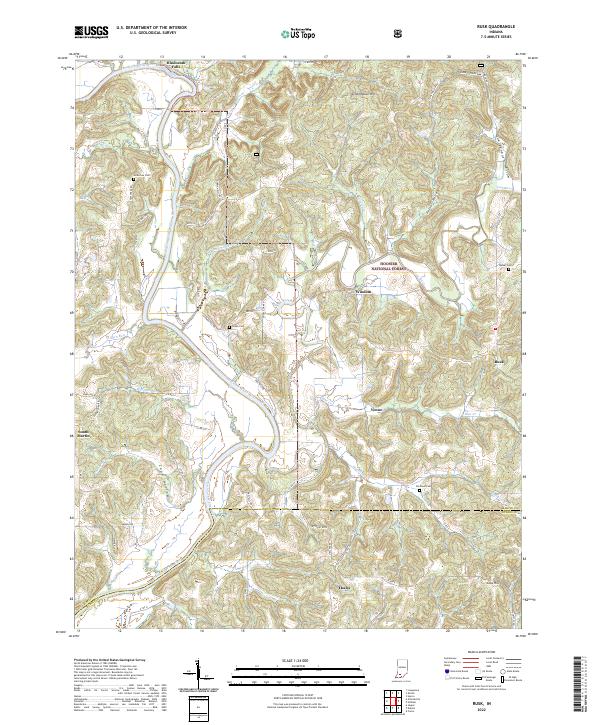
2022 Rusk
Martin County, IN