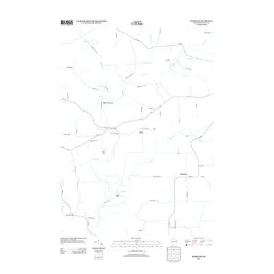
2013 Map of Hurricane
USGS Topo · Published 2013About this map
The Grant River and its numerous tributaries, including the Little Grant River and Hackett Br, dictate the settlement patterns and road networks of this corner of Grant County. In this rural landscape, small community centers and named family farmsteads serve as the primary landmarks. The settlement of Hurricane occupies the southeastern portion of the map, while Five Points and Flora Fountain mark key intersections further north.
Find a feature on this map
56 named features on this map. Tap any name to fly to it.
Don’t see what you’re looking for? This feature index may not catch every label — zoom into the map to look around manually.
Map Details
Editions of this 2013 Hurricane Map
This is the sole edition of this map. No revisions or reprints were ever made.
Other maps of this area

1900 · Lancaster
USGS Topo · 1:125,000

1904 · Lancaster
USGS Topo · 1:125,000

1908 · Lancaster
USGS Topo · 1:125,000

1955 · Cassville
USGS Topo · 1:24,000

1955 · Balltown
USGS Topo · 1:24,000

1957 · Potosi
USGS Topo · 1:24,000

1959 · Dubuque
USGS Topo · 1:250,000

1961 · Dubuque
USGS Topo · 1:250,000

1962 · Dubuque
USGS Topo · 1:250,000
1962 · Mount Hope
USGS Topo · 1:24,000