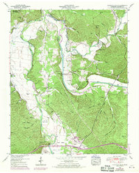
1950 Map of Hurricane Mills
USGS Topo · Published 1970About this map
The Buffalo River and Duck River converge in this mid-century landscape, framing a series of fertile bottoms and ridges in Humphreys County. The settlement at Hurricane Mills serves as a local hub, featuring the Hurricane Mills School and Hurricane Mills Church near the banks of Hurricane Creek. The presence of numerous family burial grounds, such as Crockett Cem and O'Donniley Cem, suggests a long-standing rural community structure centered around the river valleys.
Find a feature on this map
75 named features on this map. Tap any name to fly to it.
Don’t see what you’re looking for? This feature index may not catch every label — zoom into the map to look around manually.
Map Details
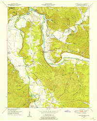
Editions of this 1950 Hurricane Mills Map
2 editions found
Other maps of this area

1936 · Gorman
USGS Topo · 1:24,000

1936 · Hurricane Mills
USGS Topo · 1:24,000

1936 · Coble
USGS Topo · 1:24,000

1936 · Daniels Landing
USGS Topo · 1:24,000

1936 · Bucksnort
USGS Topo · 1:24,000

1936 · Johnsonville
USGS Topo · 1:24,000

1936 · Lobelville
USGS Topo · 1:24,000

1936 · Waverly
USGS Topo · 1:24,000

1936 · Hustburg
USGS Topo · 1:24,000

1949 · Daniels Landing
USGS Topo · 1:24,000