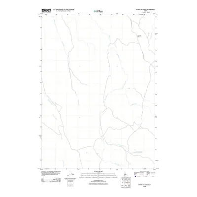
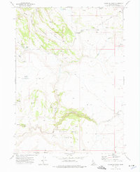
2010 Map of Hurry Up Creek
USGS Topo · Published 2010About this map
Antelope Ridge dominates the eastern landscape of this Owyhee County map, standing as a prominent topographic feature within a network of drainage basins. The area is defined by its complex hydrology, where several named waterways including Louisa Creek, Rock Creek, and the uniquely named Hurry Up Creek carve through the high desert terrain. These streams, along with Josephine Creek and Sheep Creek, establish the primary geographic structure of a region largely devoid of dense modern development. Infrastructure is limited to thoroughfares such as Antelope Springs Rd, which provides access through the eastern portion of the quadrangle. The map reveals a land utilized for its open space and water resources, with Long Tom Creek and Juniper Creek contributing to the vast watershed. This 2010 survey reflects a period where the natural geography and traditional land access routes remained the primary characteristics of this Idaho backcountry.
Find a feature on this map
9 named features on this map. Tap any name to fly to it.
Don’t see what you’re looking for? This feature index may not catch every label — zoom into the map to look around manually.
Map Details
Editions of this 2010 Hurry Up Creek Map
This is the sole edition of this map. No revisions or reprints were ever made.
Other maps of this area

1955 · Jordan Valley
USGS Topo · 1:250,000

1957 · Jordan Valley
USGS Topo · 1:250,000

1958 · Jordan Valley
USGS Topo · 1:250,000

1965 · Triangle
USGS Topo · 1:62,500
1972 · Pixley Basin
USGS Topo · 1:24,000
1972 · Big Springs Ranch
USGS Topo · 1:24,000
1972 · Clover Mtn
USGS Topo · 1:24,000
1973 · Wagon Box Basin
USGS Topo · 1:24,000

1973 · Hurry Up Creek
USGS Topo · 1:24,000

1973 · Wickiup Creek
USGS Topo · 1:24,000