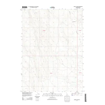
2013 Map of Hurry Up Creek
USGS Topo · Published 2013About this map
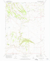
Antelope Ridge dominates the high desert landscape of Owyhee County in this 2013 survey, defining a drainage divide that directs seasonal flow toward several named drainages. Water management in this arid environment is evident through the naming of specific water sources such as Gooseberry Spring, Giusti Spring, and the unique Long Tom Troughs. These features, along with Evans Lick Spring and Station Spring, highlight the historical and ongoing importance of reliable water for livestock and travel through the Great Basin terrain.
Find a feature on this map
18 named features on this map. Tap any name to fly to it.
Don’t see what you’re looking for? This feature index may not catch every label — zoom into the map to look around manually.
Map Details
Editions of this 2013 Hurry Up Creek Map
This is the sole edition of this map. No revisions or reprints were ever made.
Other maps of this area

1955 · Jordan Valley
USGS Topo · 1:250,000

1957 · Jordan Valley
USGS Topo · 1:250,000

1958 · Jordan Valley
USGS Topo · 1:250,000

1965 · Triangle
USGS Topo · 1:62,500
1972 · Pixley Basin
USGS Topo · 1:24,000
1972 · Big Springs Ranch
USGS Topo · 1:24,000
1972 · Clover Mtn
USGS Topo · 1:24,000
1973 · Wagon Box Basin
USGS Topo · 1:24,000

1973 · Hurry Up Creek
USGS Topo · 1:24,000

1973 · Wickiup Creek
USGS Topo · 1:24,000