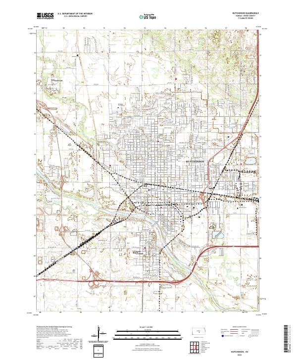
2022 Map of Hutchinson
USGS Topo · Published 2022About this map
Hutchinson is anchored by the Arkansas River and Cow Creek, which define the low-lying terrain of central Reno County. This survey reveals a mature urban grid concentrated around the Reno County Courthouse and the expansive campus of Hutchinson Community College. To the north, the small residential enclave of Willowbrook stands distinct from the main city, while South Hutchinson occupies the southern bank of the river, highlighting the area's development across the waterway. Local history is documented through several burial grounds, including the large Fairlawn Cem and the unique Erickson Animal Cem near the northern city limits. The layout of numbered avenues, from W 2nd Ave to 56th Ave, illustrates the northward expansion of the city's residential and commercial footprint.
Find a feature on this map
133 named features on this map. Tap any name to fly to it.
Don’t see what you’re looking for? This feature index may not catch every label — zoom into the map to look around manually.
Map Details
Editions of this 2022 Hutchinson Map
This is the sole edition of this map. No revisions or reprints were ever made.
Other maps of this area

1889 · Cheney
USGS Topo · 1:125,000

1891 · Hutchinson
USGS Topo · 1:125,000

1891 · Cheney
USGS Topo · 1:125,000

1892 · Kingman
USGS Topo · 1:125,000

1893 · Hutchinson
USGS Topo · 1:125,000

1894 · Kingman
USGS Topo · 1:125,000

1894 · Lyons
USGS Topo · 1:125,000

1901 · Cheney
USGS Topo · 1:125,000

1955 · Wichita
USGS Topo · 1:250,000

1955 · Great Bend
USGS Topo · 1:250,000