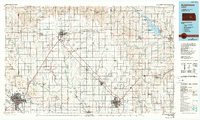
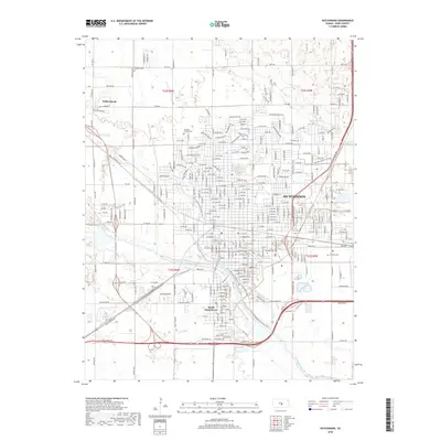
1960 Map of Hutchinson
USGS Topo · Published 1978About this map
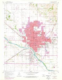
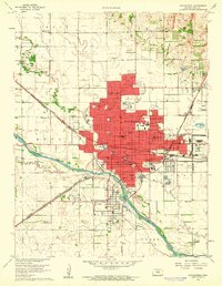
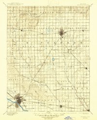
Hutchinson serves as a major hub for the Kansas wheat belt in this 1960s study, updated in the late 1970s to show significant urban expansion. The city is a convergence point for several major rail lines, including the Atchison Topeka and Santa Fe and the Chicago Rock Island and Pacific. The industrial and civic landscape is well-defined, featuring the sprawling State Fairground and the Reformatory complex. Educational and community institutions are dense throughout the grid, from the central Jr College and Central High Sch to numerous neighborhood campuses like Wiley Sch and McCandless Sch.
Find a feature on this map
82 named features on this map. Tap any name to fly to it.
Don’t see what you’re looking for? This feature index may not catch every label — zoom into the map to look around manually.
Map Details
Editions of this 1960 Hutchinson Map
2 editions found
Historical Maps of Hutchinson Through Time
11 maps found

1891 Hutchinson
Reno County, KS
1893 Hutchinson
Reno County, KS
1955 Hutchinson
Reno County, KS

1959 Hutchinson
Reno County, KS
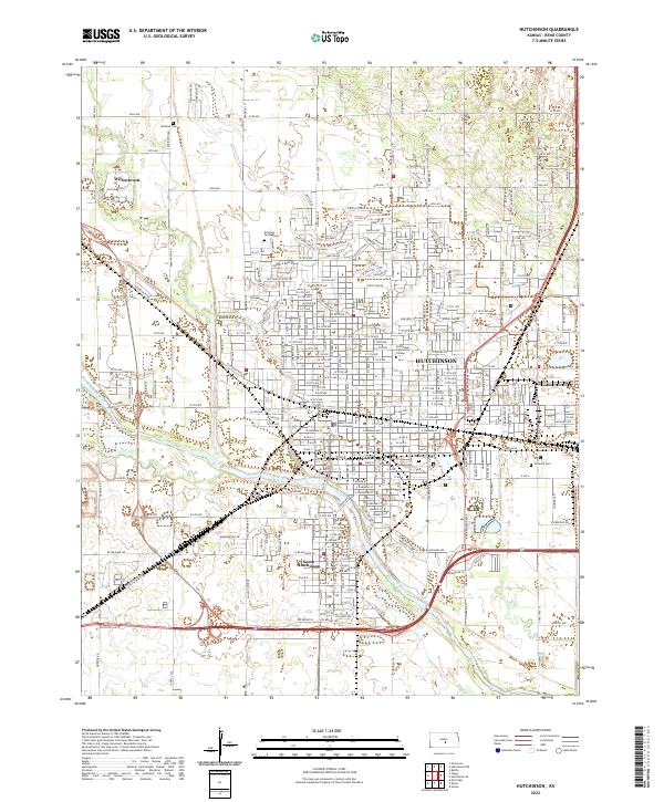
1960 Hutchinson
Reno County, KS
1985 Hutchinson
Reno County, KS
2010 Hutchinson
Reno County, KS
2012 Hutchinson
Reno County, KS
2015 Hutchinson
Reno County, KS
2018 Hutchinson
Reno County, KS
2022 Hutchinson
Reno County, KS