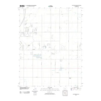
2009 Map of Hutchinson SE
USGS Topo · Published 2009About this map
The confluence of the Arkansas River and Little Arkansas River anchors the northeastern corner of this Reno County landscape, where the flat alluvial plains meet the expanding infrastructure of eastern Hutchinson. The area exhibits a distinct transition from the residential street grids and recreational clusters near Prairie Dunes Rd and Bluestem Dr to the more open, agrarian sections in the south. The Hutchinson Municipal Airport occupies a significant footprint in the western portion of the sheet, surrounded by a network of arterial roads like N Obee Rd and Airport Rd.
Find a feature on this map
61 named features on this map. Tap any name to fly to it.
Don’t see what you’re looking for? This feature index may not catch every label — zoom into the map to look around manually.
Map Details
Editions of this 2009 Hutchinson SE Map
This is the sole edition of this map. No revisions or reprints were ever made.
Other maps of this area

1889 · Cheney
USGS Topo · 1:125,000

1891 · Hutchinson
USGS Topo · 1:125,000

1891 · Cheney
USGS Topo · 1:125,000

1893 · Hutchinson
USGS Topo · 1:125,000

1901 · Cheney
USGS Topo · 1:125,000

1955 · Wichita
USGS Topo · 1:250,000

1955 · Hutchinson
USGS Topo · 1:250,000

1958 · Wichita
USGS Topo · 1:250,000

1958 · Patterson
USGS Topo · 1:24,000

1959 · Hutchinson
USGS Topo · 1:250,000