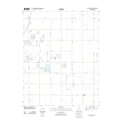
2012 Map of Hutchinson SE
USGS Topo · Published 2012About this map
Obeeville sits at the heart of this landscape, reflecting the transitional suburban and rural character of Reno County in the early 21st century. The map illustrates a structured grid of regional thoroughfares like N Tobacco Rd and N Victory Rd, which segment the Kansas prairie into residential developments and open acreage. To the west, the Hutchinson Municipal Airport serves as a major logistical hub, while residential enclaves such as those along Prairie Dunes Dr and Inverness Dr suggest the expansion of community infrastructure near established transit corridors.
Find a feature on this map
68 named features on this map. Tap any name to fly to it.
Don’t see what you’re looking for? This feature index may not catch every label — zoom into the map to look around manually.
Map Details
Editions of this 2012 Hutchinson SE Map
This is the sole edition of this map. No revisions or reprints were ever made.
Other maps of this area

1889 · Cheney
USGS Topo · 1:125,000

1891 · Hutchinson
USGS Topo · 1:125,000

1891 · Cheney
USGS Topo · 1:125,000

1893 · Hutchinson
USGS Topo · 1:125,000

1901 · Cheney
USGS Topo · 1:125,000

1955 · Wichita
USGS Topo · 1:250,000

1955 · Hutchinson
USGS Topo · 1:250,000

1958 · Wichita
USGS Topo · 1:250,000

1958 · Patterson
USGS Topo · 1:24,000

1959 · Hutchinson
USGS Topo · 1:250,000