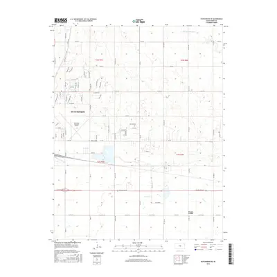
2015 Map of Hutchinson SE
USGS Topo · Published 2015About this map
Hutchinson is anchored by the sprawl of its eastern residential and industrial outskirts in this mid-2010s survey. The landscape transitions from the urban density of the city toward the agricultural horizons of Reno County, defined by a grid of section-line roads and the meandering path of the Little Arkansas River in the northeast. This area shows a blend of municipal development and recreational land use, notably around the Hutchinson Municipal Airport and the specialized residential enclaves such as Linksland and Prairie Dunes Rd.
Find a feature on this map
72 named features on this map. Tap any name to fly to it.
Don’t see what you’re looking for? This feature index may not catch every label — zoom into the map to look around manually.
Map Details
Editions of this 2015 Hutchinson SE Map
This is the sole edition of this map. No revisions or reprints were ever made.
Other maps of this area

1889 · Cheney
USGS Topo · 1:125,000

1891 · Hutchinson
USGS Topo · 1:125,000

1891 · Cheney
USGS Topo · 1:125,000

1893 · Hutchinson
USGS Topo · 1:125,000

1901 · Cheney
USGS Topo · 1:125,000

1955 · Wichita
USGS Topo · 1:250,000

1955 · Hutchinson
USGS Topo · 1:250,000

1958 · Wichita
USGS Topo · 1:250,000

1958 · Patterson
USGS Topo · 1:24,000

1959 · Hutchinson
USGS Topo · 1:250,000