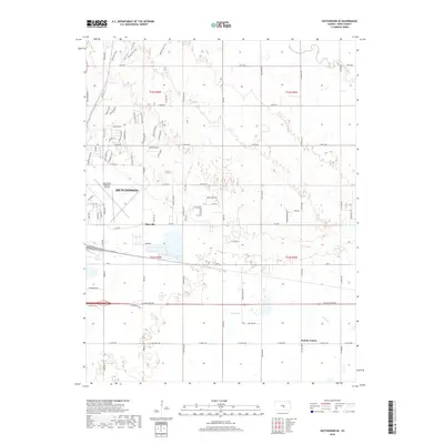
2018 Map of Hutchinson SE
USGS Topo · Published 2018About this map
Hutchinson expands southeast into the Reno County countryside in this 2018 survey, where suburban residential developments meet the agricultural and riparian landscapes of the Little Arkansas River valley. The map reveals a transition from the urban grid and the Hutchinson Regional Airport to smaller outlying settlements like Obeeville and Punkin Center. To the north, a complex network of recreational paths, including the Rolling Hills Trail, Prairie Trail, and Dune Trail, winds through the undulating terrain, indicating the preservation of open space amidst growing residential areas. The southern half is defined by the drainage of Kisiwa Cr and the strictly partitioned township and range lines of t23s r5w and t23s r4w, illustrating the intersection of Kansas's rural survey tradition with contemporary municipal growth.
Find a feature on this map
81 named features on this map. Tap any name to fly to it.
Don’t see what you’re looking for? This feature index may not catch every label — zoom into the map to look around manually.
Map Details
Editions of this 2018 Hutchinson SE Map
This is the sole edition of this map. No revisions or reprints were ever made.
Other maps of this area

1889 · Cheney
USGS Topo · 1:125,000

1891 · Hutchinson
USGS Topo · 1:125,000

1891 · Cheney
USGS Topo · 1:125,000

1893 · Hutchinson
USGS Topo · 1:125,000

1901 · Cheney
USGS Topo · 1:125,000

1955 · Wichita
USGS Topo · 1:250,000

1955 · Hutchinson
USGS Topo · 1:250,000

1958 · Wichita
USGS Topo · 1:250,000

1958 · Patterson
USGS Topo · 1:24,000

1959 · Hutchinson
USGS Topo · 1:250,000