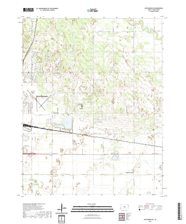
2022 Map of Hutchinson SE
USGS Topo · Published 2022About this map
Hutchinson anchors the western edge of this Reno County landscape, where urban development meets the agricultural reaches of the Kansas plains. The Hutchinson Regional Airport occupies a significant portion of the city's eastern extent, serving as a landmark for the community's transition from residential streets to open section lines. Small named locales like Obeeville and Punkin Center punctuate the grid, representing the localized points of community that often persist even as larger municipal boundaries shift. The northern reaches are defined by the winding course of the Little Arkansas River, which provides a natural break in the structured topography. This 2022 survey illustrates a modern suburban expansion characterized by residential networks such as Spyglass Dr, Cherry Hills Dr, and Mission Dr, while established watercourses like Kisiwa Cr maintain their historic paths through the township sections.
Find a feature on this map
75 named features on this map. Tap any name to fly to it.
Don’t see what you’re looking for? This feature index may not catch every label — zoom into the map to look around manually.
Map Details
Editions of this 2022 Hutchinson SE Map
This is the sole edition of this map. No revisions or reprints were ever made.
Other maps of this area

1889 · Cheney
USGS Topo · 1:125,000

1891 · Hutchinson
USGS Topo · 1:125,000

1891 · Cheney
USGS Topo · 1:125,000

1893 · Hutchinson
USGS Topo · 1:125,000

1901 · Cheney
USGS Topo · 1:125,000

1955 · Wichita
USGS Topo · 1:250,000

1955 · Hutchinson
USGS Topo · 1:250,000

1958 · Wichita
USGS Topo · 1:250,000

1958 · Patterson
USGS Topo · 1:24,000

1959 · Hutchinson
USGS Topo · 1:250,000