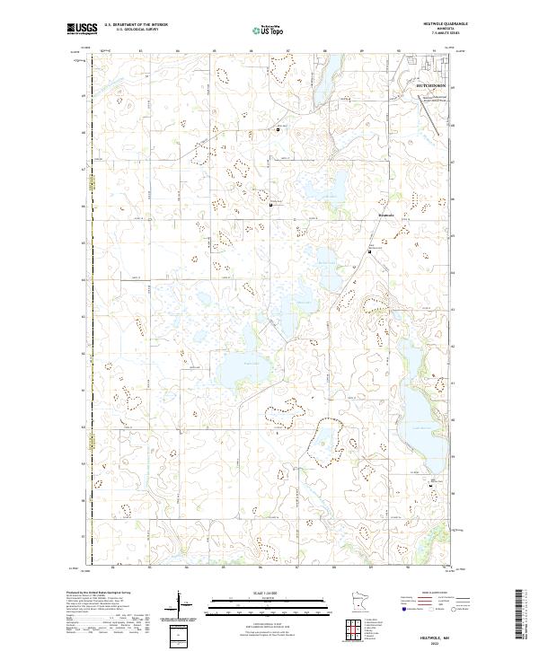
2022 Map of Hutchinson West
USGS Topo · Published 2022About this map
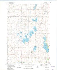
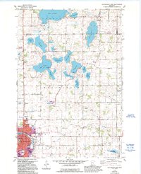
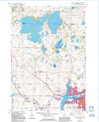
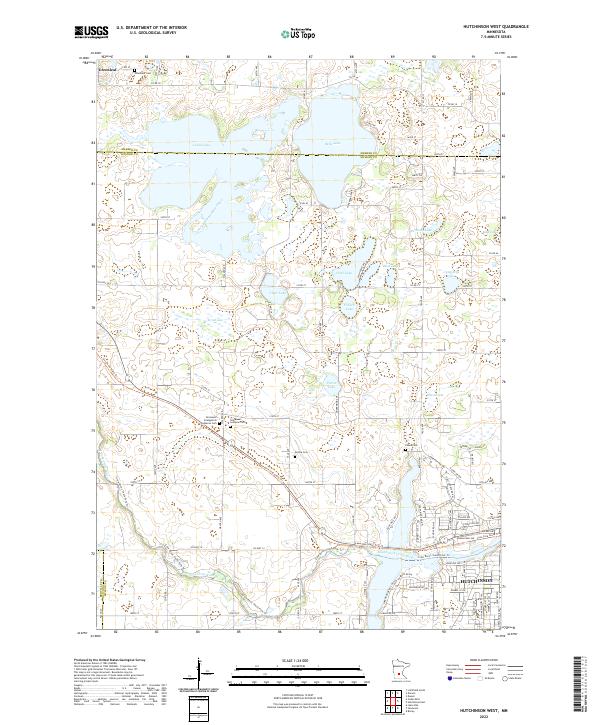
Hutchinson anchors the southeastern corner of this landscape, where the South Fork Crow River winds through the prairie of McLeod County. The area is defined by a dense cluster of glacial water bodies, including the large Cedar Lake and Belle Lake, which span the border with Meeker County to the north. A network of rural cemeteries like Greenleaf Cem, Immanuel Lutheran Cem, and Acoma Cem serve as critical points of reference for genealogists tracking early families in the Acoma and Greenleaf areas. Transport patterns are dominated by the Luce Line State Trl, a recreational corridor following a historical rail alignment that passes through the heart of the township. Local infrastructure is reflected in drainage systems like County Ditch Number Three, highlighting the intensive agricultural development of the region. The map preserves the spatial relationship between the expanding residential streets of Hutchinson, such as Les Kouba Pkwy NW, and the surrounding lake country.
Find a feature on this map
66 named features on this map. Tap any name to fly to it.
Don’t see what you’re looking for? This feature index may not catch every label — zoom into the map to look around manually.
Map Details
Editions of this 2022 Hutchinson West Map
This is the sole edition of this map. No revisions or reprints were ever made.
Historical Maps of Hutchinson Township Through Time
6 maps found