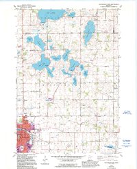
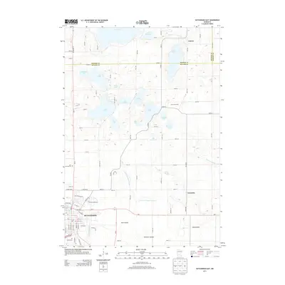
1982 Map of Hutchinson East
USGS Topo · Published 1995About this map
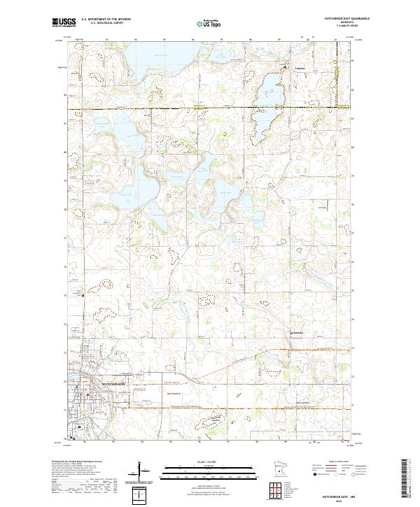
The Crow River winds through the southern reaches of this landscape, anchoring the growing city of Hutchinson. In the early 1980s, the area reflects a transition from rural townships like Collinwood and Hassen Valley into expanding urban centers, indicated by the purple-tinted developments near the County Fairground and Maplewood Academy. The northern half of the map is defined by a dense concentration of glacial lakes, including the large Lake Jennie and the connected waters of Lake Todd and Lake Hook.
Find a feature on this map
59 named features on this map. Tap any name to fly to it.
Don’t see what you’re looking for? This feature index may not catch every label — zoom into the map to look around manually.
Map Details
Editions of this 1982 Hutchinson East Map
2 editions found
Historical Maps of Hutchinson Through Time
18 maps found
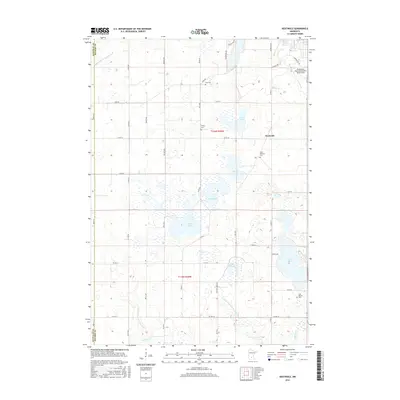
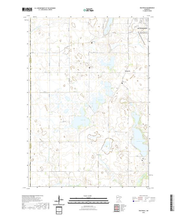
1982 Heatwole
McLeod County, MN
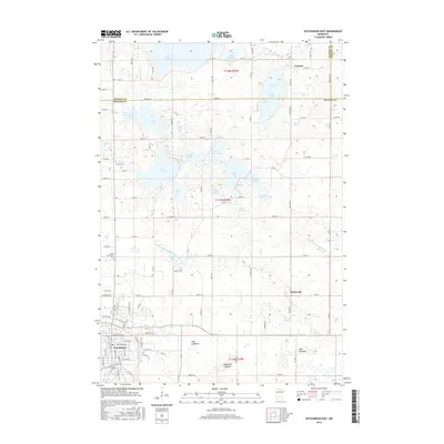
1982 Hutchinson East
McLeod County, MN
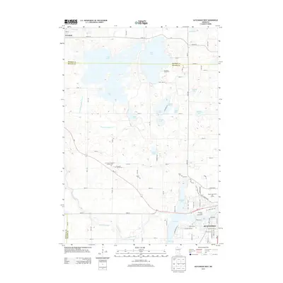
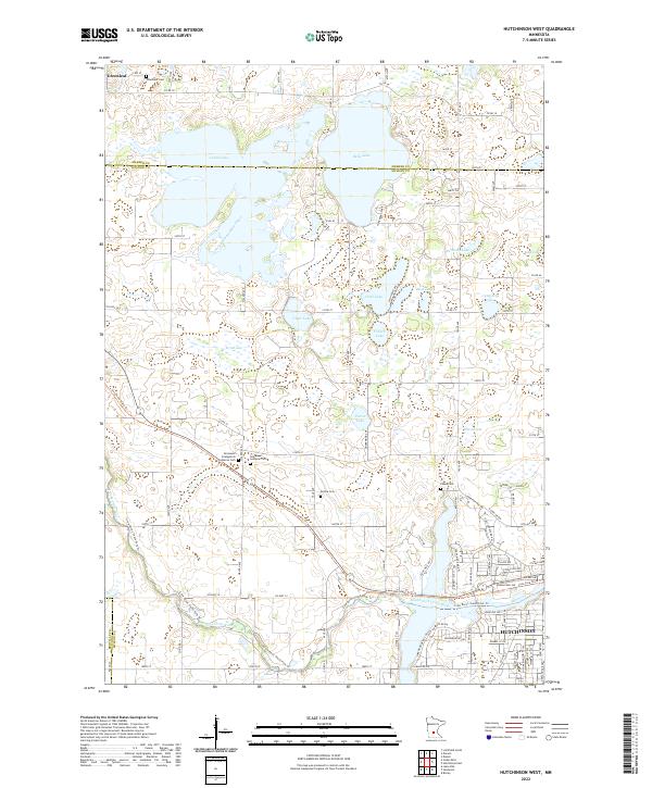
1982 Hutchinson West
McLeod County, MN
2010 Heatwole
McLeod County, MN
2010 Hutchinson East
McLeod County, MN
2010 Hutchinson West
McLeod County, MN
2013 Heatwole
McLeod County, MN
2013 Hutchinson East
McLeod County, MN
2013 Hutchinson West
McLeod County, MN
2016 Heatwole
McLeod County, MN
2016 Hutchinson East
McLeod County, MN
2016 Hutchinson West
McLeod County, MN
2019 Heatwole
McLeod County, MN
2019 Hutchinson East
McLeod County, MN
2019 Hutchinson West
McLeod County, MN
2022 Heatwole
McLeod County, MN
2022 Hutchinson East
McLeod County, MN
2022 Hutchinson West
McLeod County, MN
Featured Locations
- Collinwood Township, MN
- Hale Township, MN
- Hassan Valley Township, MN
- Hutchinson, MN
- Rich Valley Township, MN