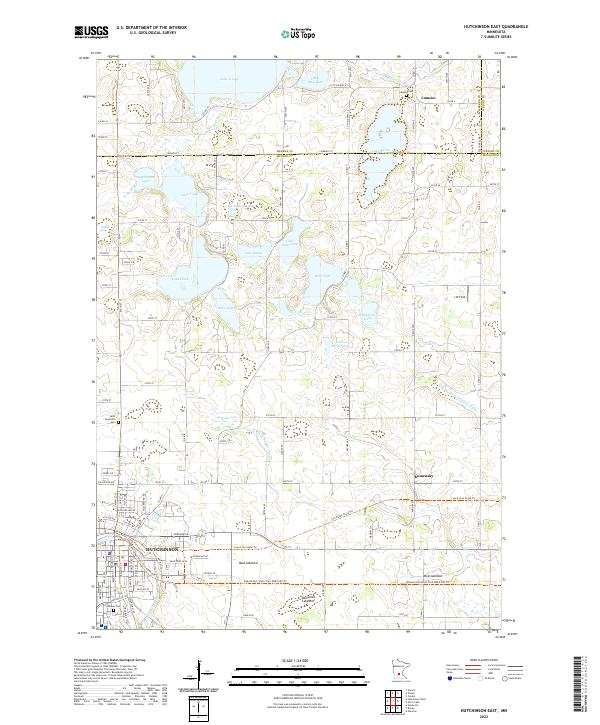
2022 Map of Hutchinson East
USGS Topo · Published 2022About this map
The South Fork Crow River winds through the southern reaches of this landscape, anchoring the city of Hutchinson as it expands eastward. This modern survey illustrates a transition from the dense residential and industrial blocks of the city to a sprawling rural environment defined by glacial lakes and agricultural drainage. Significant water bodies such as Lake Hook, Bear Lake, and Lake Todd dot the northern half of the sheet, while human engineering is evident in the straight lines of County Ditch Number Sixteen A and the Luce Line State Trail, which follows an old railroad corridor across the prairie.
Find a feature on this map
73 named features on this map. Tap any name to fly to it.
Don’t see what you’re looking for? This feature index may not catch every label — zoom into the map to look around manually.
Map Details
Editions of this 2022 Hutchinson East Map
This is the sole edition of this map. No revisions or reprints were ever made.
Other maps of this area

1953 · New Ulm
USGS Topo · 1:250,000

1953 · Saint Cloud
USGS Topo · 1:250,000

1957 · Saint Cloud
USGS Topo · 1:250,000

1957 · New Ulm
USGS Topo · 1:250,000

1958 · New Ulm
USGS Topo · 1:250,000

1958 · Saint Cloud
USGS Topo · 1:250,000

1958 · Glencoe
USGS Topo · 1:62,500

1958 · Dassel
USGS Topo · 1:62,500

1958 · Cokato
USGS Topo · 1:62,500

1958 · Hutchinson
USGS Topo · 1:62,500