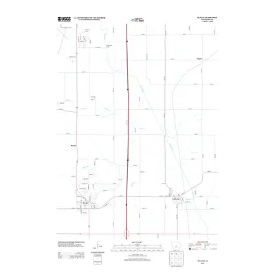
2013 Map of Huxley
USGS Topo · Published 2013About this map
The growing town of Huxley anchors this 2013 survey, illustrating the modern expansion of residential subdivisions into the surrounding prairie. North of town, the Ames Municipal Airport and a cluster of named streets like Emerald Dr and Jewel Dr indicate significant development near the county line. The landscape is defined by the winding course of the South Skunk River and its tributaries, Walnut Creek and Ballard Creek, which create natural corridors through the grid-iron road system of Story County.
Find a feature on this map
87 named features on this map. Tap any name to fly to it.
Don’t see what you’re looking for? This feature index may not catch every label — zoom into the map to look around manually.
Map Details
Editions of this 2013 Huxley Map
This is the sole edition of this map. No revisions or reprints were ever made.
Other maps of this area

1911 · Slater
USGS Topo · 1:62,500

1912 · Ames
USGS Topo · 1:62,500

1913 · Slater
USGS Topo · 1:62,500

1914 · Ames
USGS Topo · 1:62,500

1954 · Waterloo
USGS Topo · 1:250,000

1954 · Des Moines
USGS Topo · 1:250,000

1955 · Waterloo
USGS Topo · 1:250,000

1956 · Des Moines
USGS Topo · 1:250,000

1957 · Des Moines
USGS Topo · 1:250,000

1969 · Des Moines
USGS Topo · 1:250,000