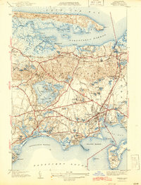
1942 Map of Hyannis
USGS Topo · Published 1942About this map
Sandy Neck creates a massive protective barrier for Barnstable Harbor, a landscape defined by the contrast between these saltwater marshes and the inland freshwater kettle ponds. At the start of the 1940s, the village of Hyannis serves as a bustling hub, showing a dense network of streets and landmarks including the Hyannis Airport and the Teachers College. Further north, the county seat at Barnstable sits along the New York New Haven and Hartford RR, which connects the north shore settlements from West Barnstable to Yarmouth Port.
Find a feature on this map
126 named features on this map. Tap any name to fly to it.
Don’t see what you’re looking for? This feature index may not catch every label — zoom into the map to look around manually.
Map Details
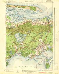
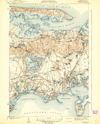
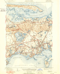
Editions of this 1942 Hyannis Map
4 editions found
Other maps of this area

1887 · Yarmouth
USGS Topo · 1:62,500

1888 · Barnstable
USGS Topo · 1:62,500

1889 · Yarmouth
USGS Topo · 1:62,500

1893 · Yarmouth
USGS Topo · 1:62,500

1893 · Barnstable
USGS Topo · 1:62,500

1938 · Sandwich
USGS Topo · 1:31,680
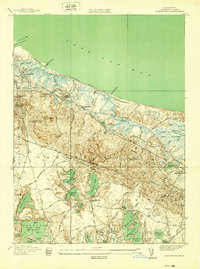
1939 · Sandwich
USGS Topo · 1:24,000
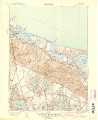
1940 · Sandwich
USGS Topo · 1:31,680
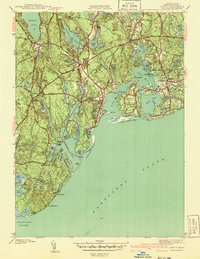
1941 · Cotuit
USGS Topo · 1:31,680

1942 · Cape Cod Bay
USGS Topo · 1:125,000