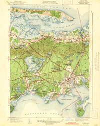
1942 Map of Hyannis
USGS Topo · Published 1942About this map
Barnstable and Hyannis anchor this mid-Cape survey, revealing a landscape defined by its coastal geography and early 20th-century development. The northern shore is dominated by the long barrier beach of Sandy Neck, protecting the extensive salt marshes of Barnstable Harbor and the Sandy Neck Lighthouse. To the south, the village of Hyannis serves as a regional hub, featuring the Hyannis State Teachers College, Cape Cod Hospital, and the Hyannis Airport.
Find a feature on this map
176 named features on this map. Tap any name to fly to it.
Don’t see what you’re looking for? This feature index may not catch every label — zoom into the map to look around manually.
Map Details
Editions of this 1942 Hyannis Map
4 editions found
Other maps of this area

1887 · Yarmouth
USGS Topo · 1:62,500

1888 · Barnstable
USGS Topo · 1:62,500

1889 · Yarmouth
USGS Topo · 1:62,500

1893 · Yarmouth
USGS Topo · 1:62,500

1893 · Barnstable
USGS Topo · 1:62,500

1938 · Sandwich
USGS Topo · 1:31,680
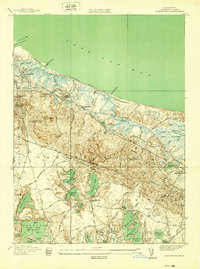
1939 · Sandwich
USGS Topo · 1:24,000
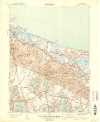
1940 · Sandwich
USGS Topo · 1:31,680
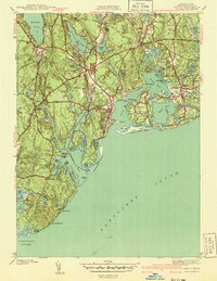
1941 · Cotuit
USGS Topo · 1:31,680

1942 · Cape Cod Bay
USGS Topo · 1:125,000