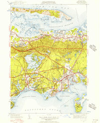
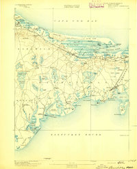
1950 Map of Hyannis
USGS Topo · Published 1956About this map
Hyannis serves as the bustling centerpiece of this 1950 revision, showing the town's evolution as a coastal hub before the full onset of modern development. The presence of the Hyannis State Teachers College and the Hyannis Airport near Hyannis Port reflects a mid-century community balancing educational growth with increasing seasonal transit. The landscape is defined by its complex water systems, from the expansive Great Marsh and Barnstable Harbor in the north to the protected coves of Centerville Harbor and Lewis Bay in the south.
Find a feature on this map
137 named features on this map. Tap any name to fly to it.
Don’t see what you’re looking for? This feature index may not catch every label — zoom into the map to look around manually.
Map Details
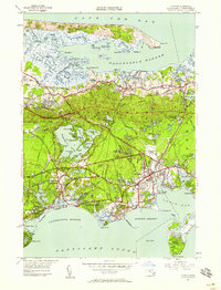
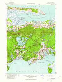
Editions of this 1950 Hyannis Map
4 editions found

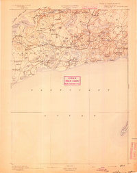
Other maps of this area

1887 · Yarmouth
USGS Topo · 1:62,500

1888 · Barnstable
USGS Topo · 1:62,500

1889 · Yarmouth
USGS Topo · 1:62,500
1893 · Yarmouth
USGS Topo · 1:62,500
1893 · Barnstable
USGS Topo · 1:62,500

1938 · Sandwich
USGS Topo · 1:31,680

1939 · Sandwich
USGS Topo · 1:24,000

1940 · Sandwich
USGS Topo · 1:31,680
1941 · Cotuit
USGS Topo · 1:31,680

1942 · Cape Cod Bay
USGS Topo · 1:125,000