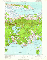
1950 Map of Hyannis
USGS Topo · Published 1961About this map
Barnstable and its diverse coastal villages are captured here during a period of postwar development, shown alongside the expansive marshes of Barnstable Harbor. The New York New Haven and Hartford Railroad cuts across the landscape, connecting Yarmouth Sta and Barnstable to the mainland, while the emerging Mid-Cape Highway signals the region's transition toward automobile-centered tourism. The map detail highlights the distinct identities of settlements like Hyannis Port and Centerville, characterized by a dense network of roads such as Scudder Ave and Craigville Beach Road.
Find a feature on this map
130 named features on this map. Tap any name to fly to it.
Don’t see what you’re looking for? This feature index may not catch every label — zoom into the map to look around manually.
Map Details
Editions of this 1950 Hyannis Map
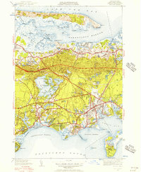
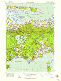
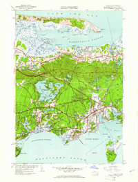
4 editions found
Other maps of this area

1887 · Yarmouth
USGS Topo · 1:62,500

1888 · Barnstable
USGS Topo · 1:62,500

1889 · Yarmouth
USGS Topo · 1:62,500

1893 · Yarmouth
USGS Topo · 1:62,500

1893 · Barnstable
USGS Topo · 1:62,500

1938 · Sandwich
USGS Topo · 1:31,680
1939 · Sandwich
USGS Topo · 1:24,000
1940 · Sandwich
USGS Topo · 1:31,680
1941 · Cotuit
USGS Topo · 1:31,680

1942 · Cape Cod Bay
USGS Topo · 1:125,000