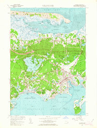
1961 Map of Hyannis
USGS Topo · Published 1963About this map
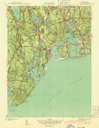
Sandy Neck and the Great Marshes dominate the northern coast of this mid-century Barnstable survey, where the intricate tidal flats of Barnstable Harbor meet a landscape of glacial kettle ponds and rising coastal development. The map documents the dense concentration of maritime and residential life in Hyannis and Yarmouth Port, while preserving the footprints of older agricultural practices like the numerous Cranberry Bogs scattered throughout the lowlands.
Find a feature on this map
167 named features on this map. Tap any name to fly to it.
Don’t see what you’re looking for? This feature index may not catch every label — zoom into the map to look around manually.
Map Details
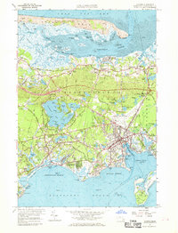
Editions of this 1961 Hyannis Map
2 editions found
Other maps of this area

1887 · Yarmouth
USGS Topo · 1:62,500

1888 · Barnstable
USGS Topo · 1:62,500

1889 · Yarmouth
USGS Topo · 1:62,500

1893 · Yarmouth
USGS Topo · 1:62,500

1893 · Barnstable
USGS Topo · 1:62,500

1938 · Sandwich
USGS Topo · 1:31,680
1939 · Sandwich
USGS Topo · 1:24,000
1940 · Sandwich
USGS Topo · 1:31,680
1941 · Cotuit
USGS Topo · 1:31,680

1942 · Cape Cod Bay
USGS Topo · 1:125,000