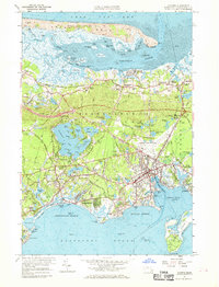
1961 Map of Hyannis
USGS Topo · Published 1969About this map
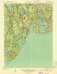
Barnstable Harbor and the expansive Sandy Neck barrier beach anchor this early 1960s coastal landscape, where the tidal flats of Cape Cod Bay meet a complex network of marshes and creeks. The mid-century development of Hyannis is clearly visible, centered around the Barnstable Municipal Airport and the commercial corridor of Main Street. This survey captures the region's transition from a rail-dependent economy, evidenced by the New York New Haven and Hartford Railroad and Yarmouth Station, to an automotive-centric vacation destination featuring the Drive-in Theater and Yarmouth Campgrounds.
Find a feature on this map
194 named features on this map. Tap any name to fly to it.
Don’t see what you’re looking for? This feature index may not catch every label — zoom into the map to look around manually.
Map Details
Editions of this 1961 Hyannis Map
2 editions found
Other maps of this area

1887 · Yarmouth
USGS Topo · 1:62,500

1888 · Barnstable
USGS Topo · 1:62,500

1889 · Yarmouth
USGS Topo · 1:62,500

1893 · Yarmouth
USGS Topo · 1:62,500

1893 · Barnstable
USGS Topo · 1:62,500

1938 · Sandwich
USGS Topo · 1:31,680
1939 · Sandwich
USGS Topo · 1:24,000
1940 · Sandwich
USGS Topo · 1:31,680
1941 · Cotuit
USGS Topo · 1:31,680

1942 · Cape Cod Bay
USGS Topo · 1:125,000