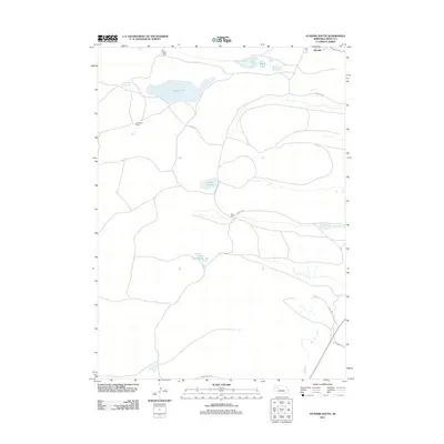
2011 Map of Hyannis South
USGS Topo · Published 2011About this map
Hyannis serves as the focal point for this section of the Nebraska Sandhills, located in the northeast corner of the map. The landscape is defined by vast ranching tracts and a series of isolated water bodies that provide critical resources in this arid environment. Significant family-owned operations, such as the Paul Sweet Ranch, Sid Sweet Ranch, and Minor Ranch, illustrate the importance of large-scale cattle ranching to the local economy.
Find a feature on this map
14 named features on this map. Tap any name to fly to it.
Don’t see what you’re looking for? This feature index may not catch every label — zoom into the map to look around manually.
Map Details
Editions of this 2011 Hyannis South Map
This is the sole edition of this map. No revisions or reprints were ever made.
Other maps of this area

1948 · Ashby
USGS Topo · 1:62,500

1948 · George Lake
USGS Topo · 1:62,500

1948 · Whitman
USGS Topo · 1:62,500

1948 · Spring Valley
USGS Topo · 1:62,500

1949 · Ashby
USGS Topo · 1:62,500

1950 · Spring Valley
USGS Topo · 1:62,500

1950 · Whitman
USGS Topo · 1:62,500

1950 · George Lake
USGS Topo · 1:62,500

1954 · North Platte
USGS Topo · 1:250,000

1956 · North Platte
USGS Topo · 1:250,000